Transport Functions
Multimodal
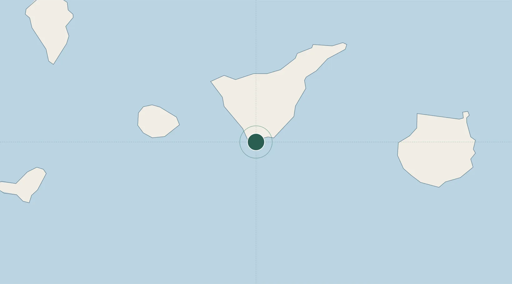
Hub Profile
Place type
Populated place
Region
Canary Islands
Population
300
Time zone
Atlantic/Canary
Location
Nearby Logistics Neighbours
Cities
- 1El Medano12 km
- 2Costa Adeje12 km
- 3Puerto de Granadilla17 km
- 4Playa San Juan24 km
- 5Guía de Isora26 km
Ports
- 1Santa Cruz De Tenerife66 km
- 2Las Palmas122 km
- 3Santa Cruz De La Palma132 km
- 4Puerto Del Rosario280 km
- 5Arrecife322 km
Airports
- 1Tenerife Sur Airport9 km
- 2La Gomera Airport56 km
- 3Tenerife Norte-Ciudad de La Laguna Airport62 km
- 4El Hierro Airport123 km
- 5Gran Canaria Airport124 km
Trade Zones
DatabookThe Record of Consolidated Knowledge
Spain beyond logistics?