UN/LOCODE hub · Spain
ESPPS

Puerto de Playa de Santiago

28.0333°, -17.2000°
2
Transport functions

Transport Functions

Port
Postal
UN/LOCODE

Hub Profile

Region
TF
GeoNames

Location

Location of ESPPS
Natural Earth 10m (public domain) · TF · ESPPS · 28.03, -17.20GoogleOSMYandex

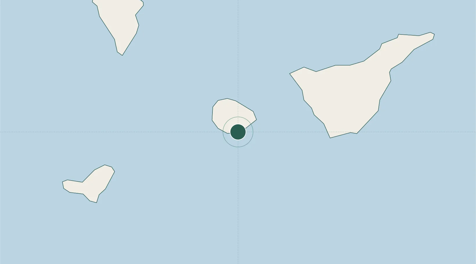
Nearby Logistics Neighbours

Cities
  1. 1Playa San Juan42 km
  2. 2Costa Adeje44 km
  3. 3Guía de Isora45 km
  4. 4Buenavista del Norte47 km
  5. 5Santiago del Teide48 km
Nearest neighbours — logibook spatial index (haversine) over the source coordinates
Ports
  1. 1Santa Cruz De La Palma90 km
  2. 2Santa Cruz De Tenerife106 km
  3. 3Las Palmas175 km
  4. 4Puerto Del Rosario332 km
  5. 5Arrecife373 km
Nearest neighbours — logibook spatial index (haversine) over the source coordinates
Airports
  1. 1La Gomera Airport2 km
  2. 2Tenerife Sur Airport62 km
  3. 3El Hierro Airport72 km
  4. 4La Palma Airport86 km
  5. 5Tenerife Norte-Ciudad de La Laguna Airport98 km
Nearest neighbours — logibook spatial index (haversine) over the source coordinates
Trade Zones
  1. 1Zona Franca de Tenerife106 km
  2. 2Zona Franca de Las Palmas de Gran Canaria176 km
  3. 3Centro Internacional De Negocios da Madeira514 km
  4. 4Bîr Oum Ghrïn Free Zone640 km
  5. 5Nouadibhou Free Zone792 km
Nearest neighbours — logibook spatial index (haversine) over the source coordinates
DatabookThe Record of Consolidated Knowledge
Spain beyond logistics?
Browse databook

All Sources

LocationsUN/LOCODE
UN/LOCODE — free
Portsthe NGA World Port Index
Public domain (US gov)
AirportsOurAirports
Public domain
Trade Zonesthe World Bank SEZ database
CC BY 4.0
Trade ZonesOpen Zone Map
CC BY
← Spain locations