Transport Functions
Port
Hub Profile
Place type
District seat
Region
Catalonia
Population
17,898
Time zone
Europe/Madrid
Elevation
11 m
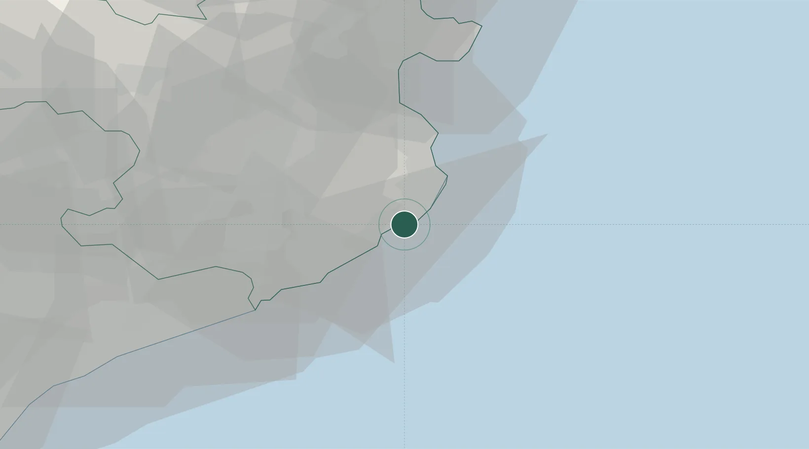
Location
Nearby Logistics Neighbours
Cities
- 1Calonge5 km
- 2Sant Feliu de Guixols11 km
- 3Santa Cristina d'Aro12 km
- 4Begur12 km
- 5Fontanilles17 km
Ports
- 1San Feliu De Guixols11 km
- 2Rosas47 km
- 3Port-Vendres74 km
- 4Barcelona98 km
- 5Port-La-Nouvelle130 km
Airports
Trade Zones
- 1ZFU Perpignan97 km
- 2Zona Franca de Barcelona102 km
- 3ZFU Béziers165 km
- 4Depósito Franco de Tarragona177 km
- 5ZFU Montpellier204 km
DatabookThe Record of Consolidated Knowledge
Spain beyond logistics?