Medium airport · France
Perpignan-Rivesaltes (Llabanère) AirportLFMP
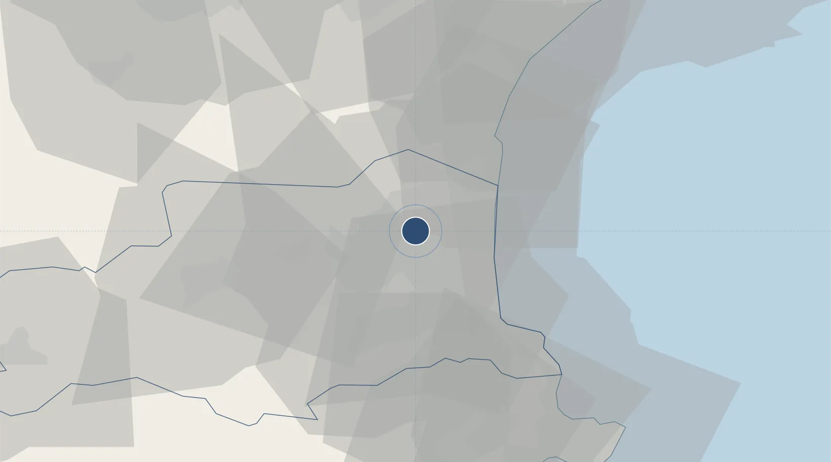
42.7404°, 2.8707°
8,202 ft
Longest runway
2
Runways
144 ft
Elevation
Runway & Layout

Radio Frequencies
ATIS
127.875 MHz
TWR
121.9 MHz
PERPIGNAN TWR
APP
120.75 MHz
PERPIGNAN APP
Navaids
PPG VOR-DME Perpignan 116.25 MHz
Runways · 2
| Runway | Dimensions | Surface | True heading | Lit |
|---|---|---|---|---|
| 15/33 | 8,202 × 148ft | Asphalt | 148° | ✓ |
| 13/31 | 3,560 × 66ft | Asphalt | 128° | — |
Airport Specifications
IATA code
PGF
ICAO code
LFMP
Airport class
Medium airport
Scheduled service
Yes
Runway surface
Asphalt
Served city
Perpignan/Rivesaltes
Location
Nearby Logistics Neighbours
Airports
- 1Carcassonne Salvaza Airport70 km
- 2Béziers Vias airport76 km
- 3Girona-Costa Brava Airport93 km
- 4Folgueroles Airfield99 km
- 5Castres Mazamet Airport102 km
Cities
- 1Rivesaltes3 km
- 2Perpignan5 km
- 3Espira-de-l'Agly6 km
- 4Villeneuve-la-Rivière7 km
- 5Le Soler9 km
Ports
- 1Port-Vendres32 km
- 2Port-La-Nouvelle35 km
- 3Rosas59 km
- 4Sete100 km
- 5Palamos103 km
Trade Zones
- 1ZFU Perpignan5 km
- 2ZFU Béziers72 km
- 3ZFU Montpellier125 km
- 4ZFU Toulouse151 km
- 5Zona Franca de Barcelona168 km
DatabookThe Record of Consolidated Knowledge
France beyond logistics?