Transport Functions
Multimodal
Hub Profile
Place type
District seat
Region
Catalonia
Time zone
Europe/Madrid
Elevation
17 m
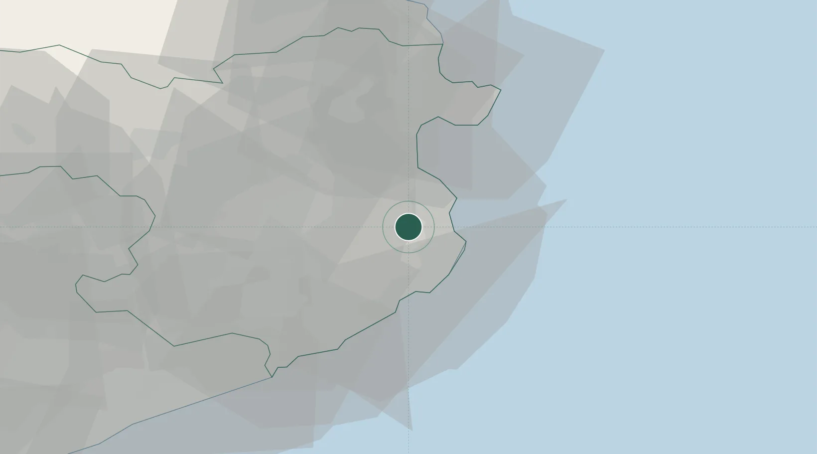
Location
Nearby Logistics Neighbours
Cities
- 1Fonalleras5 km
- 2Ulla6 km
- 3Corca9 km
- 4Begur10 km
- 5La Escala (L'Escala)13 km
Ports
- 1Palamos19 km
- 2San Feliu De Guixols25 km
- 3Rosas30 km
- 4Port-Vendres58 km
- 5Barcelona106 km
Airports
Trade Zones
- 1ZFU Perpignan80 km
- 2Zona Franca de Barcelona110 km
- 3ZFU Béziers149 km
- 4Depósito Franco de Tarragona183 km
- 5ZFU Montpellier189 km
DatabookThe Record of Consolidated Knowledge
Spain beyond logistics?