UN/LOCODE hub · Spain
ESSCA

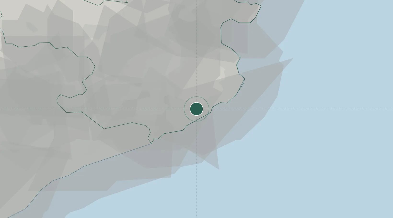
Santa Cristina d'Aro

41.8167°, 3.0000°
5,089
Population
2
Transport functions

Transport Functions

Rail
Road
UN/LOCODE

Hub Profile

Place type
District seat
GeoNames
Region
Catalonia
GeoNames
Population
5,089
GeoNames
Time zone
Europe/Madrid
GeoNames
Elevation
55 m
GeoNames

Location

Location of ESSCA
Natural Earth 10m (public domain) · Catalonia · ESSCA · 41.82, 3.00GoogleOSMYandex

Nearby Logistics Neighbours

Cities
  1. 1Sant Feliu de Guixols5 km
  2. 2Calonge9 km
  3. 3Palamós12 km
  4. 4Tossa (Tossa de Mar)12 km
  5. 5Campllong17 km
Nearest neighbours — logibook spatial index (haversine) over the source coordinates
Ports
  1. 1San Feliu De Guixols5 km
  2. 2Palamos10 km
  3. 3Rosas52 km
  4. 4Port-Vendres78 km
  5. 5Barcelona87 km
Nearest neighbours — logibook spatial index (haversine) over the source coordinates
Airports
  1. 1Girona-Costa Brava Airport22 km
  2. 2Folgueroles Airfield59 km
  3. 3Josep Tarradellas Barcelona-El Prat Airport96 km
  4. 4Perpignan-Rivesaltes (Llabanère) Airport103 km
  5. 5Pirineus - la Seu d'Urgel Airport144 km
Nearest neighbours — logibook spatial index (haversine) over the source coordinates
Trade Zones
  1. 1Zona Franca de Barcelona91 km
  2. 2ZFU Perpignan99 km
  3. 3Depósito Franco de Tarragona166 km
  4. 4ZFU Béziers170 km
  5. 5ZFU Montpellier211 km
Nearest neighbours — logibook spatial index (haversine) over the source coordinates
DatabookThe Record of Consolidated Knowledge
Spain beyond logistics?
Browse databook

All Sources

LocationsUN/LOCODE
UN/LOCODE — free
LocationsGeoNames
CC BY 4.0
Portsthe NGA World Port Index
Public domain (US gov)
AirportsOurAirports
Public domain
Trade Zonesthe World Bank SEZ database
CC BY 4.0
Trade ZonesOpen Zone Map
CC BY
← Spain locations