Transport Functions
Port
Hub Profile
Place type
District seat
Region
Catalonia
Population
3,981
Time zone
Europe/Madrid
Elevation
239 m
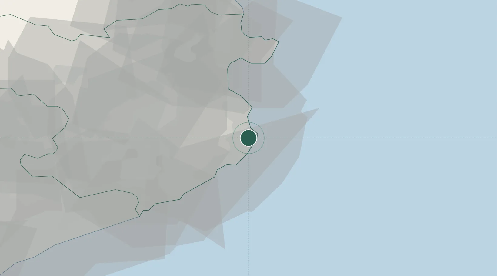
Location
Nearby Logistics Neighbours
Cities
- 1Fontanilles10 km
- 2Palamós12 km
- 3Ulla13 km
- 4Calonge13 km
- 5Fonalleras14 km
Ports
- 1Palamos15 km
- 2San Feliu De Guixols23 km
- 3Rosas35 km
- 4Port-Vendres63 km
- 5Barcelona109 km
Airports
Trade Zones
- 1ZFU Perpignan87 km
- 2Zona Franca de Barcelona113 km
- 3ZFU Béziers154 km
- 4Depósito Franco de Tarragona187 km
- 5ZFU Montpellier192 km
DatabookThe Record of Consolidated Knowledge
Spain beyond logistics?