Transport Functions
Port
Hub Profile
Place type
District seat
Region
Catalonia
Population
10,637
Time zone
Europe/Madrid
Elevation
15 m
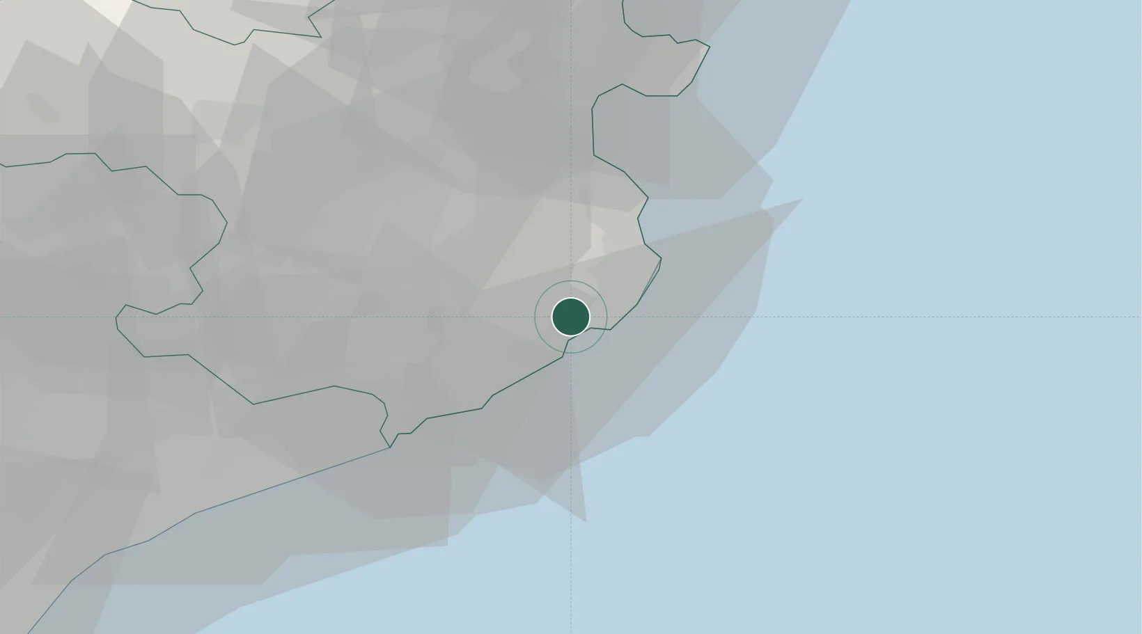
Location
Nearby Logistics Neighbours
Cities
- 1Palamós5 km
- 2Santa Cristina d'Aro9 km
- 3Sant Feliu de Guixols10 km
- 4Begur13 km
- 5Corca15 km
Ports
- 1Palamos5 km
- 2San Feliu De Guixols10 km
- 3Rosas45 km
- 4Port-Vendres72 km
- 5Barcelona95 km
Airports
Trade Zones
- 1ZFU Perpignan94 km
- 2Zona Franca de Barcelona99 km
- 3ZFU Béziers164 km
- 4Depósito Franco de Tarragona174 km
- 5ZFU Montpellier203 km
DatabookThe Record of Consolidated Knowledge
Spain beyond logistics?