Runway & Layout

Airport Specifications
Airport class
Medium airport
Scheduled service
No
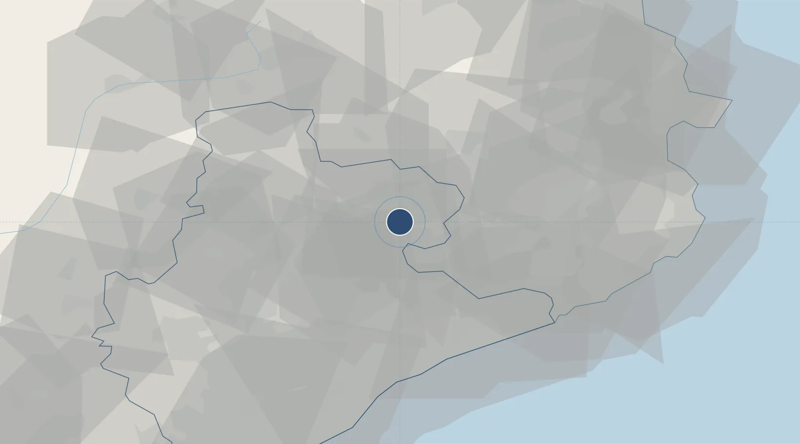
Served city
Folgueroles
Location
Nearby Logistics Neighbours
Airports
Cities
- 1Les Masies de Roda4 km
- 2Calldetenes5 km
- 3Santa Eugenia de Berga7 km
- 4Gurb8 km
- 5San Vicent de Torello13 km
Ports
- 1San Feliu De Guixols63 km
- 2Barcelona68 km
- 3Palamos68 km
- 4Rosas80 km
- 5Port-Vendres92 km
Trade Zones
- 1Zona Franca de Barcelona70 km
- 2ZFU Perpignan96 km
- 3Depósito Franco de Tarragona128 km
- 4ZFU Béziers171 km
- 5ZFU Toulouse197 km
DatabookThe Record of Consolidated Knowledge
Spain beyond logistics?