Transport Functions
Multimodal
Hub Profile
Place type
Populated place
Region
Catalonia
Time zone
Europe/Madrid
Elevation
16 m
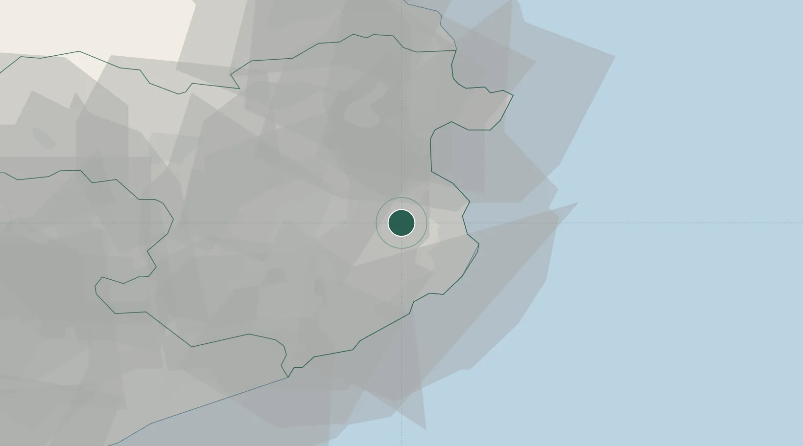
Location
Nearby Logistics Neighbours
Cities
- 1Fontanilles5 km
- 2Corca6 km
- 3Ulla7 km
- 4Juya11 km
- 5Bordils12 km
Ports
- 1Palamos21 km
- 2San Feliu De Guixols26 km
- 3Rosas30 km
- 4Port-Vendres56 km
- 5Barcelona104 km
Airports
Trade Zones
- 1ZFU Perpignan77 km
- 2Zona Franca de Barcelona108 km
- 3ZFU Béziers147 km
- 4Depósito Franco de Tarragona180 km
- 5ZFU Montpellier188 km
DatabookThe Record of Consolidated Knowledge
Spain beyond logistics?