Transport Functions
Port
Road
Hub Profile
Region
GI
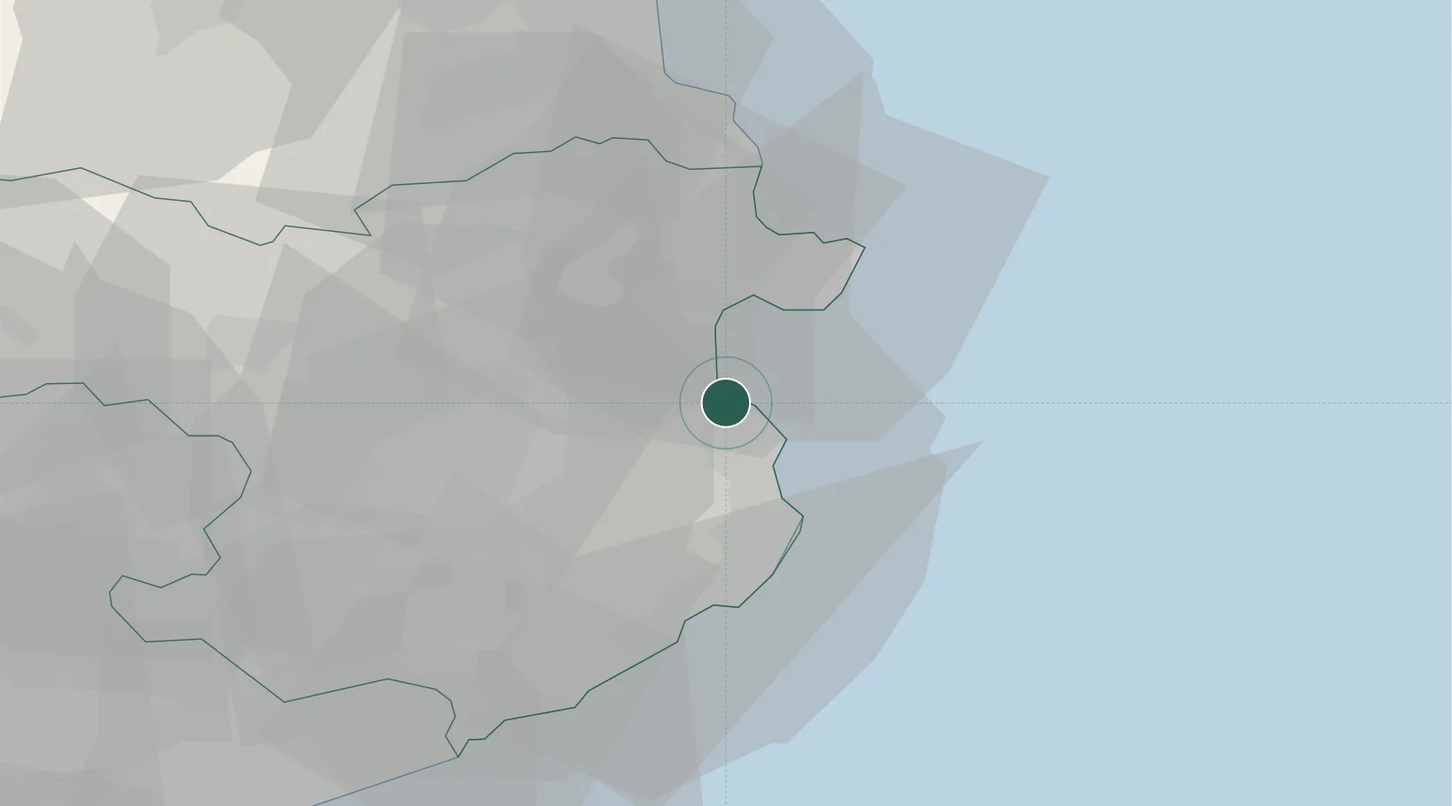
Location
Nearby Logistics Neighbours
Cities
- 1Ulla8 km
- 2San Pedro Pescador9 km
- 3Fonalleras13 km
- 4Fontanilles13 km
- 5Sant Miquel de Fluvià14 km
Ports
- 1Rosas17 km
- 2Palamos32 km
- 3San Feliu De Guixols38 km
- 4Port-Vendres45 km
- 5Port-La-Nouvelle100 km
Airports
Trade Zones
- 1ZFU Perpignan68 km
- 2Zona Franca de Barcelona121 km
- 3ZFU Béziers136 km
- 4ZFU Montpellier175 km
- 5Depósito Franco de Tarragona192 km
DatabookThe Record of Consolidated Knowledge
Spain beyond logistics?