Transport Functions
Multimodal
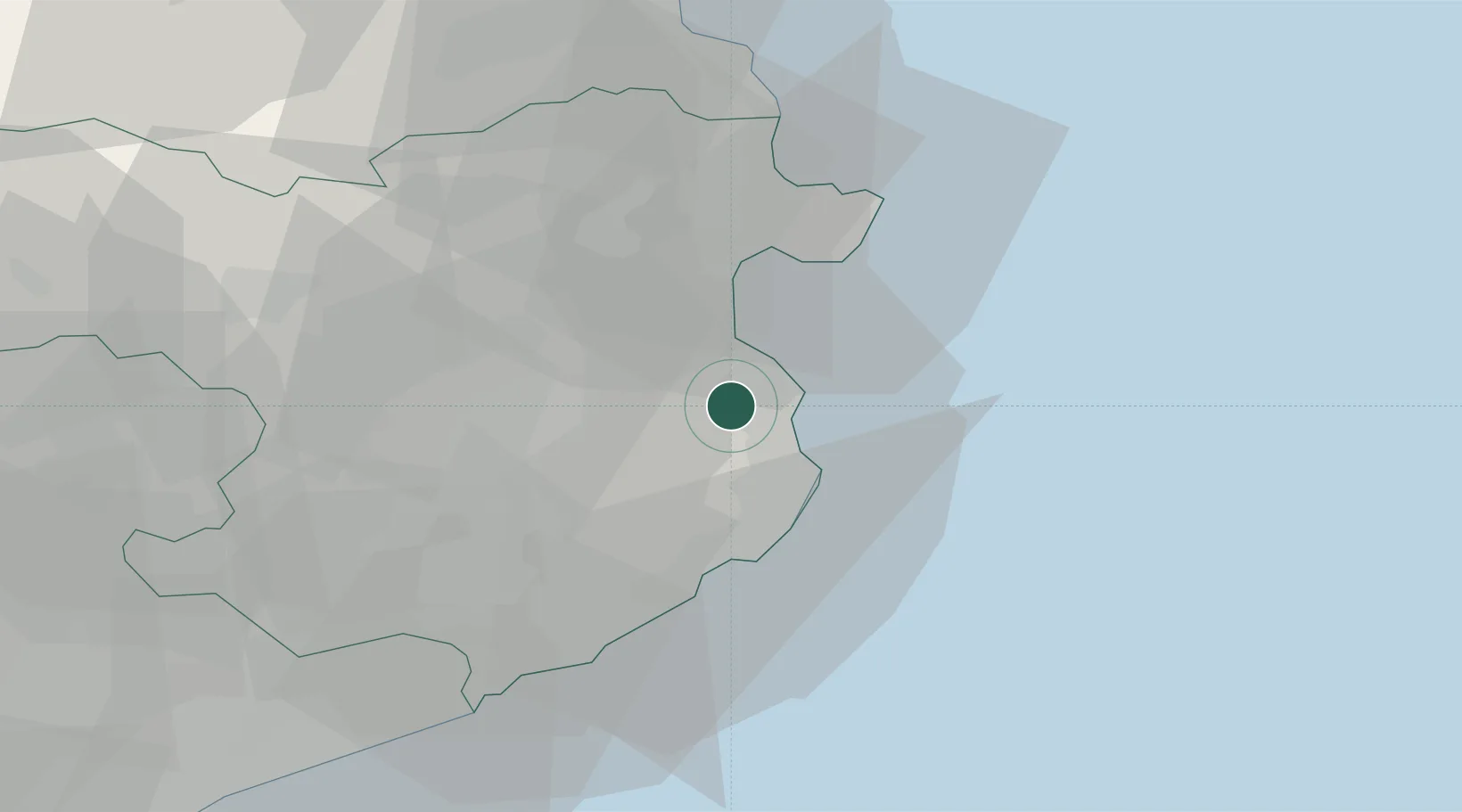
Hub Profile
Place type
District seat
Region
Catalonia
Population
943
Time zone
Europe/Madrid
Elevation
13 m
Location
Nearby Logistics Neighbours
Cities
- 1Fontanilles6 km
- 2Fonalleras7 km
- 3La Escala (L'Escala)8 km
- 4Corca12 km
- 5Begur13 km
Ports
- 1Palamos24 km
- 2Rosas25 km
- 3San Feliu De Guixols30 km
- 4Port-Vendres52 km
- 5Port-La-Nouvelle108 km
Airports
Trade Zones
- 1ZFU Perpignan75 km
- 2Zona Franca de Barcelona115 km
- 3ZFU Béziers143 km
- 4ZFU Montpellier183 km
- 5Depósito Franco de Tarragona187 km
DatabookThe Record of Consolidated Knowledge
Spain beyond logistics?