Transport Functions
Port
Road
Hub Profile
Region
AL
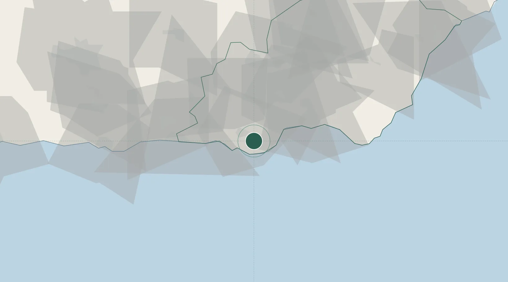
Location
Nearby Logistics Neighbours
Cities
- 1Aguadulce17 km
- 2Almería24 km
- 3Adra25 km
- 4Insticio27 km
- 5Fuente Victoria29 km
Ports
- 1Almeria26 km
- 2Adra27 km
- 3Motril70 km
- 4Puerto De Carboneras81 km
- 5Puerto De Garrucha95 km
Airports
- 1Almería Airport34 km
- 2Armilla Air Base91 km
- 3F.G.L. Airport Granada-Jaén Airport105 km
- 4Málaga-Costa del Sol Airport158 km
- 5Melilla Airport165 km
Trade Zones
- 1Depósito Franco de Málaga163 km
- 2Melilla Autonomous Community163 km
- 3Nador WestMed Free Zone173 km
- 4Berkane Agro-Pole203 km
- 5Ait Kamra Economic Activity Zone209 km
DatabookThe Record of Consolidated Knowledge
Spain beyond logistics?