Transport Functions
Port
Road
Hub Profile
Place type
District seat
Region
Andalusia
Population
24,373
Time zone
Europe/Madrid
Elevation
12 m
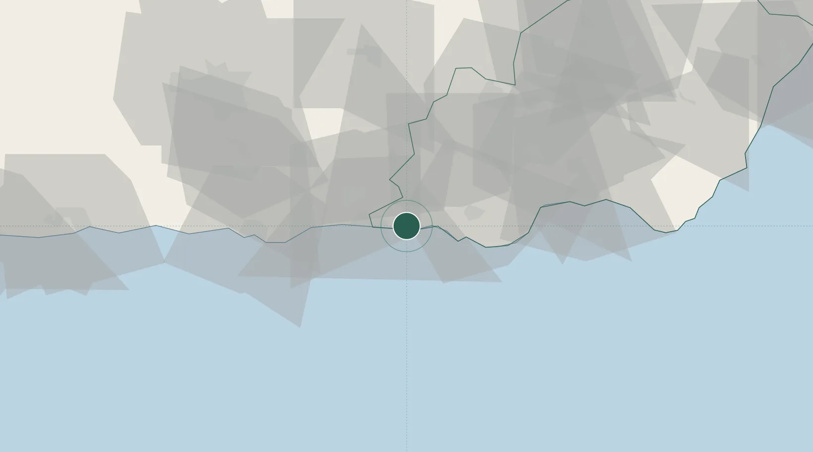
Location
Nearby Logistics Neighbours
Cities
- 1La Rabita13 km
- 2Las Noras de Daza25 km
- 3Fuente Victoria29 km
- 4Lagos38 km
- 5Carchuna38 km
Ports
- 1Motril45 km
- 2Almeria50 km
- 3Puerto De Carboneras105 km
- 4Puerto De Garrucha117 km
- 5Malaga125 km
Airports
- 1Almería Airport59 km
- 2Armilla Air Base70 km
- 3F.G.L. Airport Granada-Jaén Airport83 km
- 4Málaga-Costa del Sol Airport132 km
- 5Melilla Airport164 km
Trade Zones
- 1Depósito Franco de Málaga138 km
- 2Melilla Autonomous Community162 km
- 3Nador WestMed Free Zone169 km
- 4Ait Kamra Economic Activity Zone197 km
- 5Berkane Agro-Pole209 km
DatabookThe Record of Consolidated Knowledge
Spain beyond logistics?