Transport Functions
Multimodal
Hub Profile
Place type
Populated place
Region
Andalusia
Time zone
Europe/Madrid
Elevation
857 m
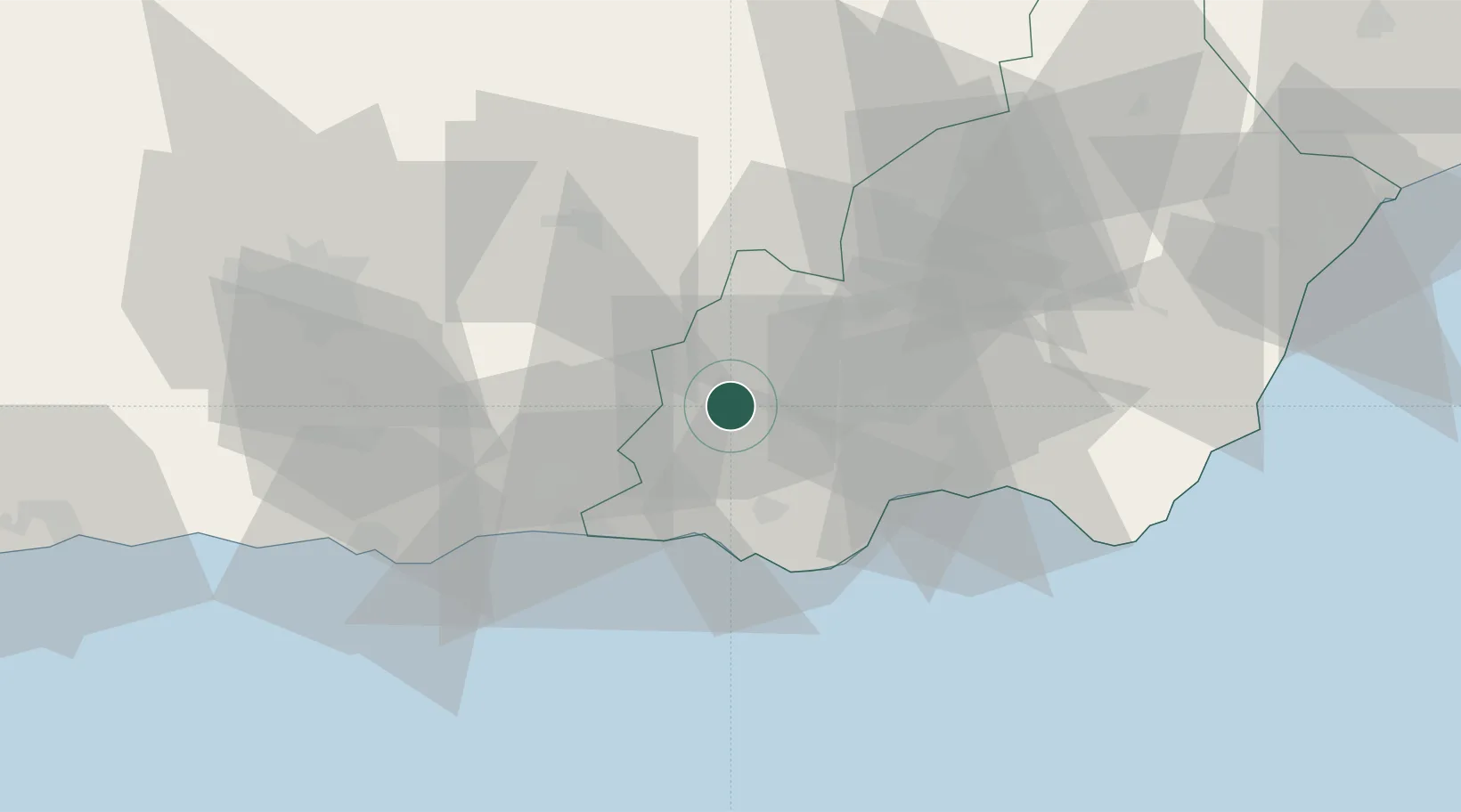
Location
Nearby Logistics Neighbours
Cities
- 1Insticio19 km
- 2Aldeire26 km
- 3Las Noras de Daza29 km
- 4Adra29 km
- 5Aguadulce33 km
Ports
- 1Adra32 km
- 2Almeria39 km
- 3Motril63 km
- 4Puerto De Carboneras87 km
- 5Puerto De Garrucha96 km
Airports
Trade Zones
- 1Depósito Franco de Málaga147 km
- 2Melilla Autonomous Community188 km
- 3Nador WestMed Free Zone196 km
- 4Ait Kamra Economic Activity Zone226 km
- 5Berkane Agro-Pole231 km
DatabookThe Record of Consolidated Knowledge
Spain beyond logistics?