Transport Functions
Port
Road
Hub Profile
Place type
District seat
Region
Andalusia
Population
7,199
Time zone
Europe/Madrid
Elevation
9 m
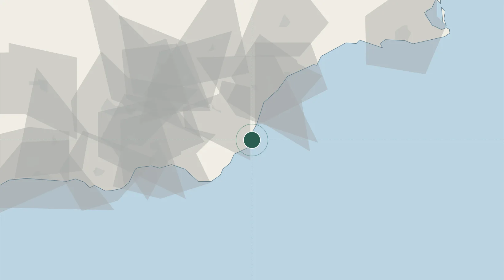
Location
Nearby Logistics Neighbours
Cities
- 1Mojácar19 km
- 2Antas28 km
- 3Vera30 km
- 4Lubrin31 km
- 5El Alquian44 km
Ports
- 1Puerto De Garrucha23 km
- 2Aguilas54 km
- 3Almeria55 km
- 4Cartagena104 km
- 5Adra106 km
Airports
- 1Almería Airport46 km
- 2Region of Murcia International Airport113 km
- 3Alcantarilla Air Base122 km
- 4San Javier Airport129 km
- 5Armilla Air Base156 km
Trade Zones
- 1Depósito Franco de Alicante194 km
- 2Melilla Autonomous Community211 km
- 3Nador WestMed Free Zone226 km
- 4Berkane Agro-Pole229 km
- 5Depósito Franco de Málaga235 km
DatabookThe Record of Consolidated Knowledge
Spain beyond logistics?