UN/LOCODE hub · Spain
ESMMA

Malgrat de Mar

41.6500°, 2.7500°
18,472
Population
4
Transport functions

Transport Functions

Port
Rail
Road
Multimodal
UN/LOCODE

Hub Profile

Place type
District seat
GeoNames
Region
Catalonia
GeoNames
Population
18,472
GeoNames
Time zone
Europe/Madrid
GeoNames
Elevation
9 m
GeoNames

Location

Location of ESMMA
Natural Earth 10m (public domain) · Catalonia · ESMMA · 41.65, 2.75GoogleOSMYandex

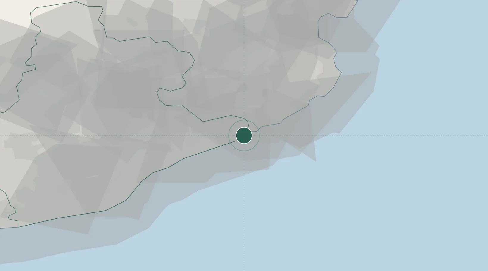
Nearby Logistics Neighbours

Cities
  1. 1Tordera6 km
  2. 2Macanet de la Selva6 km
  3. 3Calella8 km
  4. 4Lloret de Mar10 km
  5. 5Tardelcuende12 km
Nearest neighbours — logibook spatial index (haversine) over the source coordinates
Ports
  1. 1San Feliu De Guixols28 km
  2. 2Palamos37 km
  3. 3Barcelona59 km
  4. 4Rosas77 km
  5. 5Villanueva Y Geltru97 km
Nearest neighbours — logibook spatial index (haversine) over the source coordinates
Airports
  1. 1Girona-Costa Brava Airport28 km
  2. 2Folgueroles Airfield50 km
  3. 3Josep Tarradellas Barcelona-El Prat Airport68 km
  4. 4Perpignan-Rivesaltes (Llabanère) Airport122 km
  5. 5Pirineus - la Seu d'Urgel Airport135 km
Nearest neighbours — logibook spatial index (haversine) over the source coordinates
Trade Zones
  1. 1Zona Franca de Barcelona63 km
  2. 2ZFU Perpignan117 km
  3. 3Depósito Franco de Tarragona139 km
  4. 4ZFU Béziers191 km
  5. 5ZFU Montpellier235 km
Nearest neighbours — logibook spatial index (haversine) over the source coordinates
DatabookThe Record of Consolidated Knowledge
Spain beyond logistics?
Browse databook

All Sources

LocationsUN/LOCODE
UN/LOCODE — free
LocationsGeoNames
CC BY 4.0
Portsthe NGA World Port Index
Public domain (US gov)
AirportsOurAirports
Public domain
Trade Zonesthe World Bank SEZ database
CC BY 4.0
Trade ZonesOpen Zone Map
CC BY
← Spain locations