Transport Functions
Multimodal
Hub Profile
Place type
District seat
Region
Castille and León
Population
598
Time zone
Europe/Madrid
Elevation
990 m
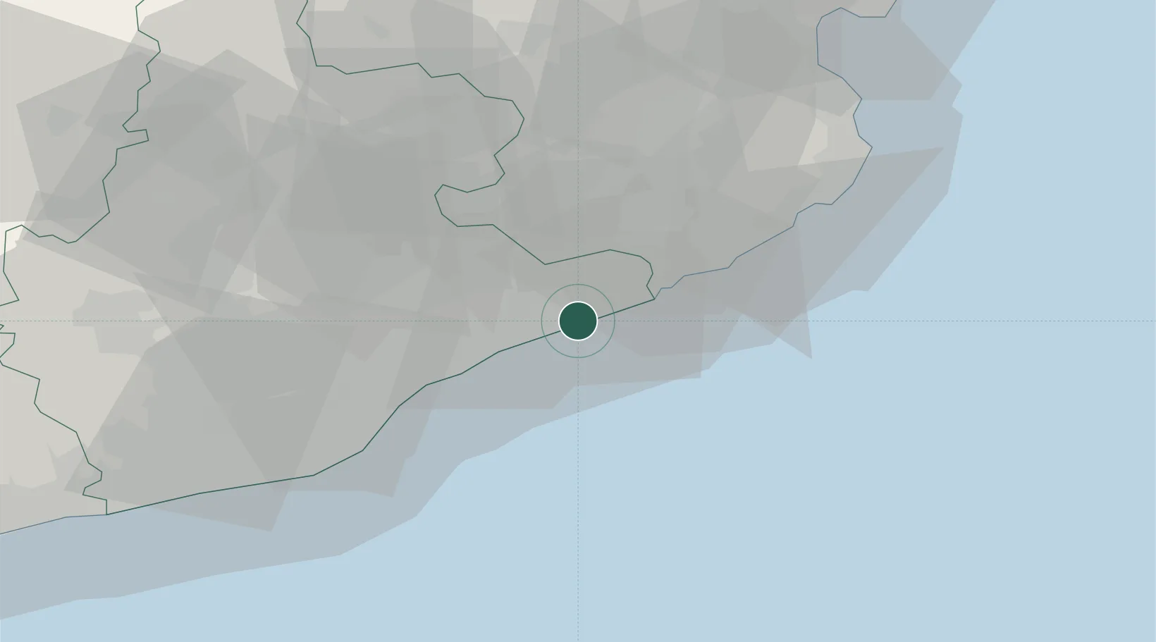
Location
Nearby Logistics Neighbours
Cities
- 1Calella5 km
- 2Macanet de la Selva8 km
- 3San Andres de Llevaneras12 km
- 4Malgrat de Mar12 km
- 5Tordera14 km
Ports
- 1San Feliu De Guixols40 km
- 2Barcelona47 km
- 3Palamos49 km
- 4Villanueva Y Geltru84 km
- 5Rosas88 km
Airports
Trade Zones
- 1Zona Franca de Barcelona51 km
- 2ZFU Perpignan124 km
- 3Depósito Franco de Tarragona126 km
- 4ZFU Béziers199 km
- 5ZFU Toulouse243 km
DatabookThe Record of Consolidated Knowledge
Spain beyond logistics?