Transport Functions
Port
Road
Hub Profile
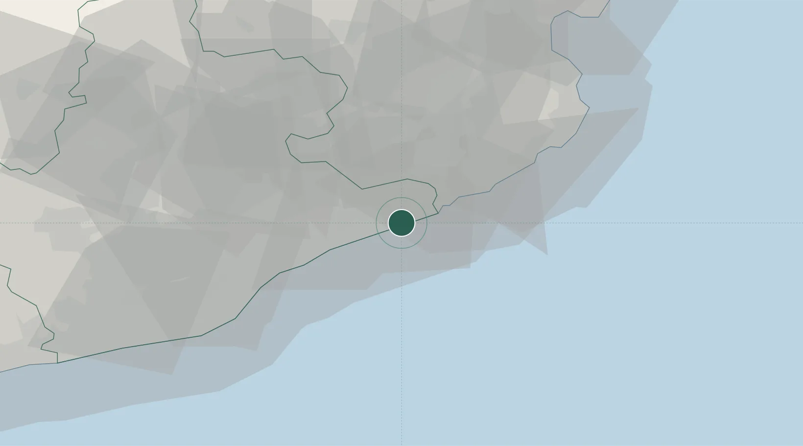
Place type
District seat
Region
Catalonia
Population
18,728
Time zone
Europe/Madrid
Elevation
15 m
Location
Nearby Logistics Neighbours
Cities
- 1Tardelcuende5 km
- 2Macanet de la Selva5 km
- 3Malgrat de Mar8 km
- 4Tordera10 km
- 5La Batlloria15 km
Ports
- 1San Feliu De Guixols36 km
- 2Palamos44 km
- 3Barcelona51 km
- 4Rosas84 km
- 5Villanueva Y Geltru89 km
Airports
Trade Zones
- 1Zona Franca de Barcelona55 km
- 2ZFU Perpignan122 km
- 3Depósito Franco de Tarragona131 km
- 4ZFU Béziers196 km
- 5ZFU Montpellier241 km
DatabookThe Record of Consolidated Knowledge
Spain beyond logistics?