Transport Functions
Road
Multimodal
Hub Profile
Place type
District seat
Region
Catalonia
Time zone
Europe/Madrid
Elevation
102 m
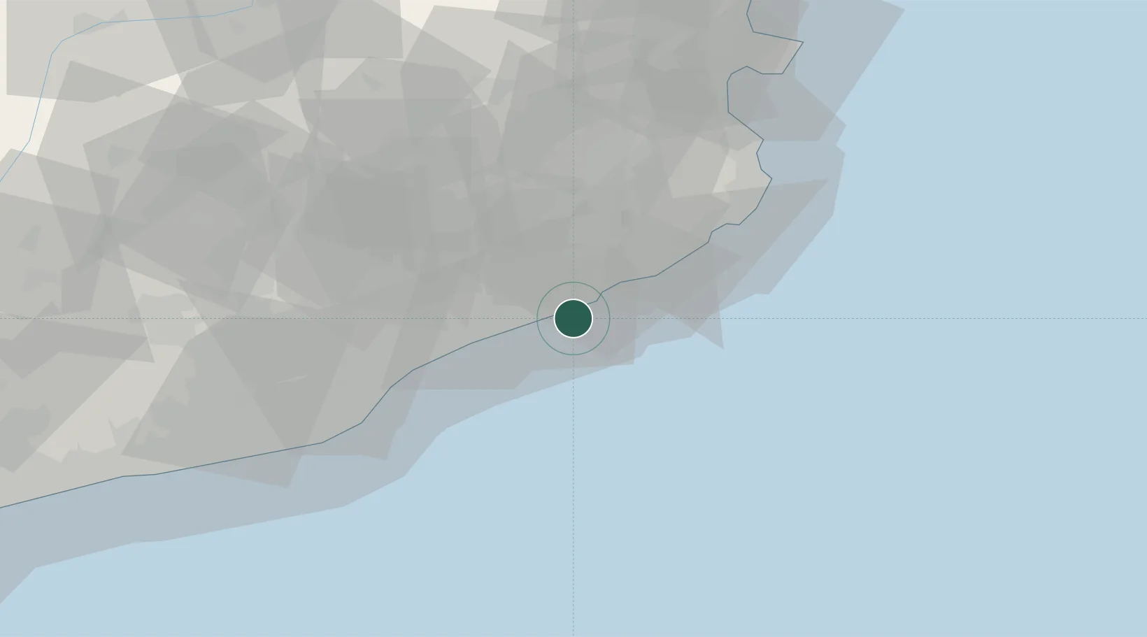
Location
Nearby Logistics Neighbours
Cities
- 1Calella5 km
- 2Malgrat de Mar6 km
- 3Tardelcuende8 km
- 4Tordera11 km
- 5Lloret de Mar16 km
Ports
- 1San Feliu De Guixols33 km
- 2Palamos42 km
- 3Barcelona54 km
- 4Rosas84 km
- 5Villanueva Y Geltru92 km
Airports
Trade Zones
- 1Zona Franca de Barcelona58 km
- 2ZFU Perpignan123 km
- 3Depósito Franco de Tarragona134 km
- 4ZFU Béziers197 km
- 5ZFU Montpellier241 km
DatabookThe Record of Consolidated Knowledge
Spain beyond logistics?