Transport Functions
Port
Road
Hub Profile
Place type
District seat
Region
Catalonia
Population
37,350
Time zone
Europe/Madrid
Elevation
14 m
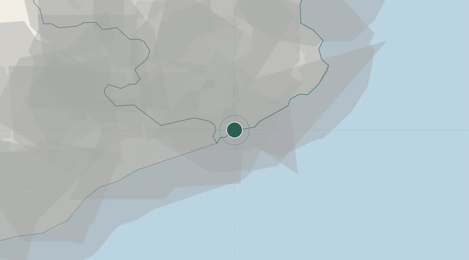
Location
Nearby Logistics Neighbours
Cities
- 1Tossa (Tossa de Mar)7 km
- 2Malgrat de Mar10 km
- 3Tordera11 km
- 4Sils14 km
- 5Macanet de la Selva16 km
Ports
- 1San Feliu De Guixols18 km
- 2Palamos27 km
- 3Rosas69 km
- 4Barcelona69 km
- 5Port-Vendres93 km
Airports
Trade Zones
- 1Zona Franca de Barcelona73 km
- 2ZFU Perpignan111 km
- 3Depósito Franco de Tarragona149 km
- 4ZFU Béziers184 km
- 5ZFU Montpellier227 km
DatabookThe Record of Consolidated Knowledge
Spain beyond logistics?