Transport Functions
Multimodal
Hub Profile
Place type
District seat
Region
Catalonia
Population
15,345
Time zone
Europe/Madrid
Elevation
41 m
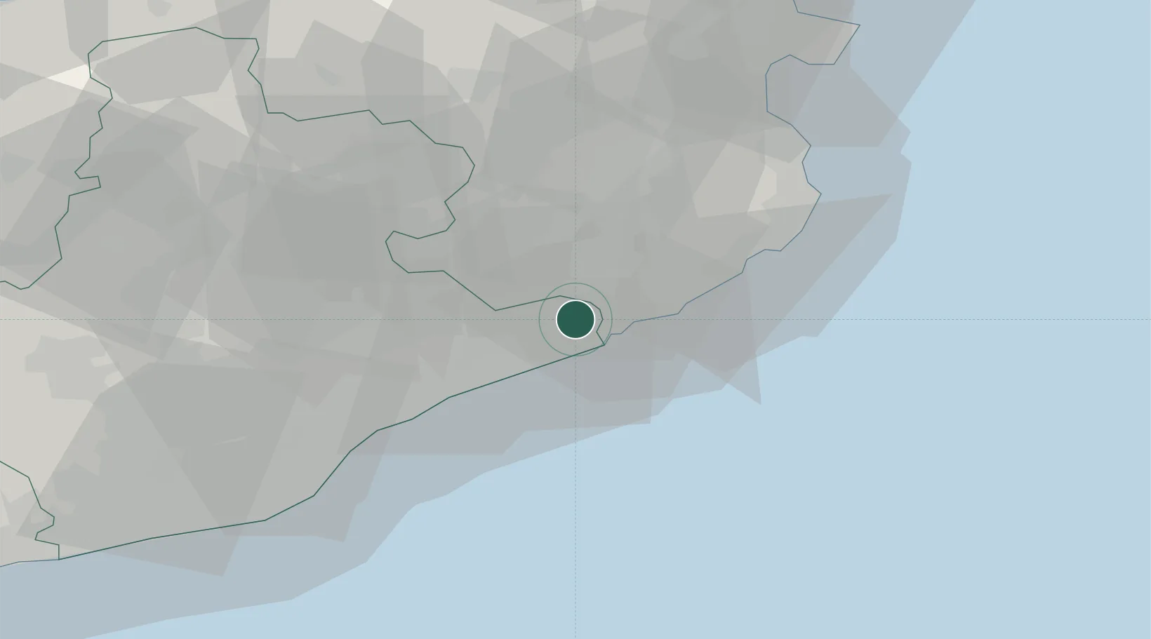
Location
Nearby Logistics Neighbours
Cities
- 1Malgrat de Mar6 km
- 2Hostalrich9 km
- 3Hostalric9 km
- 4Calella10 km
- 5Lloret de Mar11 km
Ports
- 1San Feliu De Guixols28 km
- 2Palamos36 km
- 3Barcelona60 km
- 4Rosas74 km
- 5Port-Vendres97 km
Airports
Trade Zones
- 1Zona Franca de Barcelona64 km
- 2ZFU Perpignan112 km
- 3Depósito Franco de Tarragona139 km
- 4ZFU Béziers186 km
- 5ZFU Montpellier231 km
DatabookThe Record of Consolidated Knowledge
Spain beyond logistics?