Transport Functions
Port
Hub Profile
Place type
District seat
Region
Catalonia
Population
3,869
Time zone
Europe/Madrid
Elevation
79 m
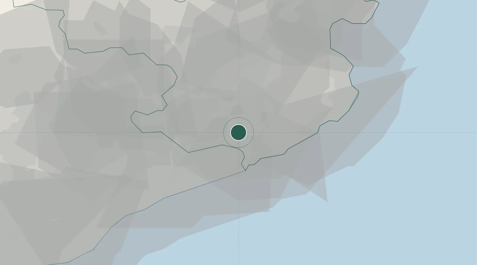
Location
Nearby Logistics Neighbours
Cities
- 1Campllong11 km
- 2Hostalrich11 km
- 3Hostalric11 km
- 4Tordera12 km
- 5Lloret de Mar14 km
Ports
- 1San Feliu De Guixols24 km
- 2Palamos31 km
- 3Rosas63 km
- 4Barcelona70 km
- 5Port-Vendres85 km
Airports
Trade Zones
- 1Zona Franca de Barcelona74 km
- 2ZFU Perpignan101 km
- 3Depósito Franco de Tarragona147 km
- 4ZFU Béziers175 km
- 5ZFU Montpellier220 km
DatabookThe Record of Consolidated Knowledge
Spain beyond logistics?