Transport Functions
Port
Rail
Road
Hub Profile
Place type
Populated place
Region
Catalonia
Time zone
Europe/Madrid
Elevation
94 m
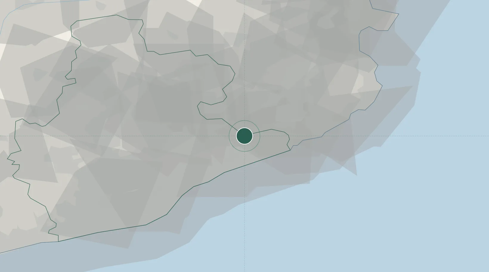
Location
Nearby Logistics Neighbours
Cities
- 1Riells I Viabrea4 km
- 2Sant Celoni7 km
- 3Hostalrich8 km
- 4Hostalric8 km
- 5San Felíu de Buxalleu8 km
Ports
- 1San Feliu De Guixols41 km
- 2Palamos49 km
- 3Barcelona52 km
- 4Rosas81 km
- 5Villanueva Y Geltru87 km
Airports
Trade Zones
- 1Zona Franca de Barcelona55 km
- 2ZFU Perpignan113 km
- 3Depósito Franco de Tarragona128 km
- 4ZFU Béziers188 km
- 5ZFU Toulouse229 km
DatabookThe Record of Consolidated Knowledge
Spain beyond logistics?