UN/LOCODE hub · Spain
ESRUZ
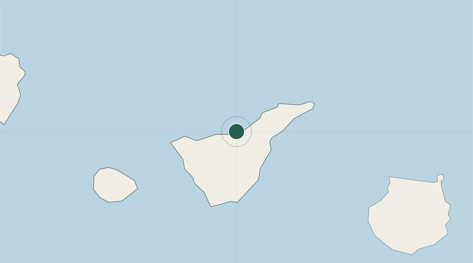
Puerto de la Cruz
28.4167°, -16.5500°
32,219
Population
2
Transport functions
Transport Functions
Port
Road
Hub Profile
Place type
District seat
Region
Canary Islands
Population
32,219
Time zone
Atlantic/Canary
Location
Nearby Logistics Neighbours
Cities
- 1La Orotava5 km
- 2Santa Úrsula8 km
- 3La Victoria De Acentejo10 km
- 4Sauzal14 km
- 5Tacoronte16 km
Ports
- 1Santa Cruz De Tenerife32 km
- 2Las Palmas115 km
- 3Santa Cruz De La Palma121 km
- 4Puerto Del Rosario264 km
- 5Arrecife300 km
Airports
- 1Tenerife Norte-Ciudad de La Laguna Airport22 km
- 2Tenerife Sur Airport41 km
- 3La Gomera Airport78 km
- 4La Palma Airport120 km
- 5Gran Canaria Airport126 km
Trade Zones
DatabookThe Record of Consolidated Knowledge
Spain beyond logistics?