UN/LOCODE hub · Spain
ESFIO

Figueiro

41.9667°, 8.7667°
1
Transport functions

Transport Functions

Multimodal
UN/LOCODE

Hub Profile

Place type
Populated place
GeoNames
Region
Galicia
GeoNames
Time zone
Europe/Madrid
GeoNames
Elevation
17 m
GeoNames

Location

Location of ESFIO
Natural Earth 10m (public domain) · Galicia · ESFIO · 41.97, 8.77GoogleOSMYandex

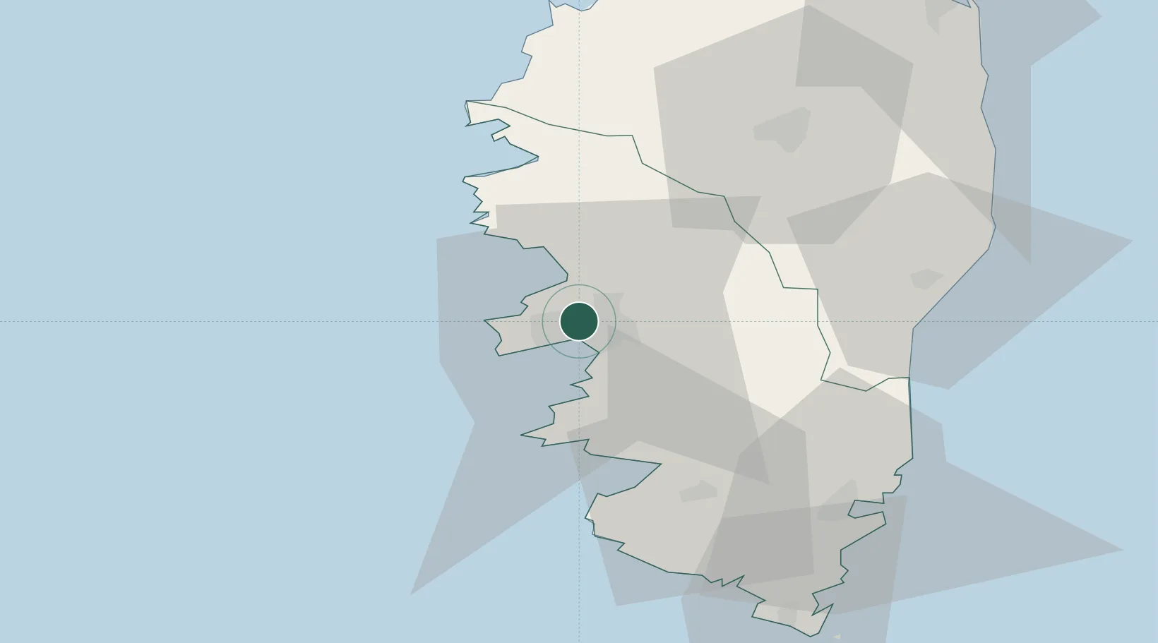
Nearby Logistics Neighbours

Cities
  1. 1Ajaccio5 km
  2. 2Cauro15 km
  3. 3Grosseto-Prugna20 km
  4. 4Cognocoli20 km
  5. 5Pila-Canale21 km
Nearest neighbours — logibook spatial index (haversine) over the source coordinates
Ports
  1. 1Port D' Ajaccio6 km
  2. 2Port De Propriano33 km
  3. 3Porto Vecchio60 km
  4. 4Calvi67 km
  5. 5Bonifacio73 km
Nearest neighbours — logibook spatial index (haversine) over the source coordinates
Airports
  1. 1Ajaccio Napoléon Bonaparte airport6 km
  2. 2Solenzara (BA 126) Air Base53 km
  3. 3Figari Sud-Corse Airport59 km
  4. 4Calvi Sainte Catherine Airport63 km
  5. 5Bastia-Poretta International airport88 km
Nearest neighbours — logibook spatial index (haversine) over the source coordinates
Trade Zones
  1. 1Sardinia Special Economic Zone Area154 km
  2. 2ZFU LAriane232 km
  3. 3ZFU Toulon265 km
  4. 4ZFU La Seyne-sur-Mer270 km
  5. 5Free Zone of Portovesme311 km
Nearest neighbours — logibook spatial index (haversine) over the source coordinates
DatabookThe Record of Consolidated Knowledge
Spain beyond logistics?
Browse databook

All Sources

LocationsUN/LOCODE
UN/LOCODE — free
Portsthe NGA World Port Index
Public domain (US gov)
AirportsOurAirports
Public domain
Trade Zonesthe World Bank SEZ database
CC BY 4.0
Trade ZonesOpen Zone Map
CC BY
← Spain locations