Large airport · France

Bastia-Poretta International airportLFKB
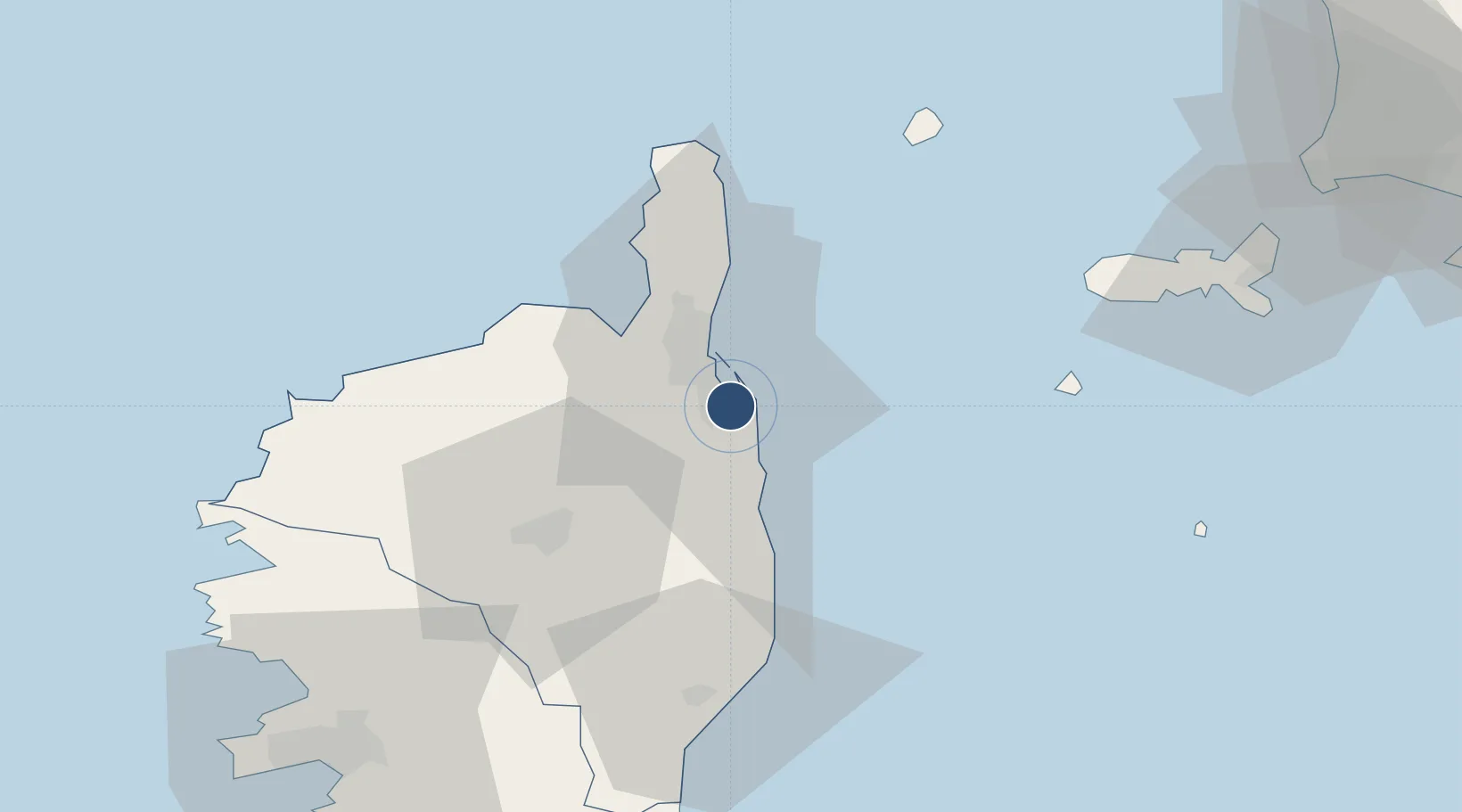
42.5527°, 9.4837°
8,266 ft
Longest runway
1
Runways
26 ft
Elevation

Runway & Layout

Bastia-Poretta International airport runway & taxiway layout
Runway & taxiway layout — OpenStreetMap (ODbL) / OurAirports

Radio Frequencies

ATIS
125.925 MHz
BASTIA ATIS
TWR
118 MHz
BASTIA TWR
GND
121.825 MHz
APP
123.825 MHz
BASTIA RADAR APP
AFIS
124.725 MHz
BASTIA INFO
ARR
37.85 MHz
BASTIA APP
OurAirports

Navaids

BTA VOR-DME Bastia 114.15 MHz
OurAirports

Runways · 1

RunwayDimensions SurfaceTrue headingLit
16/34 8,266 × 148ft Asphalt 163°
OurAirports

Airport Specifications

IATA code
BIA
OurAirports
ICAO code
LFKB
OurAirports
Airport class
Large airport
OurAirports
Scheduled service
Yes
OurAirports
Runway surface
Asphalt
OurAirports
Served city
Bastia
OurAirports

Location

Location of LFKB
Natural Earth 10m (public domain) · Haute-Corse · LFKB · 42.55, 9.48GoogleOSMYandex

Nearby Logistics Neighbours

Airports
  1. 1Calvi Sainte Catherine Airport57 km
  2. 2Marina di Campo Airport66 km
  3. 3Solenzara (BA 126) Air Base70 km
  4. 4Ajaccio Napoléon Bonaparte airport90 km
  5. 5Figari Sud-Corse Airport121 km
Nearest neighbours — logibook spatial index (haversine) over the source coordinates
Cities
  1. 1Borgo6 km
  2. 2Vescovato9 km
  3. 3Furiani12 km
  4. 4Bastia17 km
  5. 5Barbaggio17 km
Nearest neighbours — logibook spatial index (haversine) over the source coordinates
Ports
  1. 1Bastia17 km
  2. 2L'ile Rousse46 km
  3. 3Calvi60 km
  4. 4Portoferraio75 km
  5. 5Port D' Ajaccio93 km
Nearest neighbours — logibook spatial index (haversine) over the source coordinates
Trade Zones
  1. 1Sardinia Special Economic Zone Area222 km
  2. 2ZFU LAriane222 km
  3. 3ZFU Toulon296 km
  4. 4ZFU La Seyne-sur-Mer303 km
  5. 5Abruzzo Special Economic Zone318 km
Nearest neighbours — logibook spatial index (haversine) over the source coordinates
DatabookThe Record of Consolidated Knowledge
France beyond logistics?
Browse databook

All Sources

AirportsOurAirports
Public domain
Portsthe NGA World Port Index
Public domain (US gov)
LocationsUN/LOCODE
UN/LOCODE — free
Trade Zonesthe World Bank SEZ database
CC BY 4.0
Trade ZonesOpen Zone Map
CC BY
InfrastructureOpenStreetMap
ODbL 1.0
← France airports