Transport Functions
Port
Airport
Postal
Hub Profile
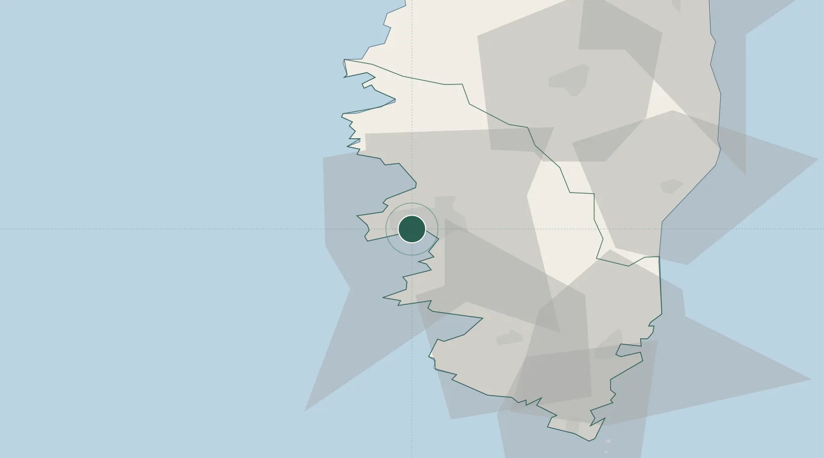
Place type
Regional capital
Region
Corsica
Population
54,364
Time zone
Europe/Paris
Elevation
0 m
Location
Nearby Logistics Neighbours
Cities
- 1Figueiro5 km
- 2Cauro16 km
- 3Cognocoli19 km
- 4Pila-Canale20 km
- 5Grosseto-Prugna21 km
Ports
- 1Port De Propriano31 km
- 2Porto Vecchio60 km
- 3Calvi70 km
- 4Bonifacio71 km
- 5L'ile Rousse80 km
Airports
Trade Zones
- 1Sardinia Special Economic Zone Area151 km
- 2ZFU LAriane234 km
- 3ZFU Toulon264 km
- 4ZFU La Seyne-sur-Mer269 km
- 5Free Zone of Portovesme307 km
DatabookThe Record of Consolidated Knowledge
France beyond logistics?