Transport Functions
Multimodal
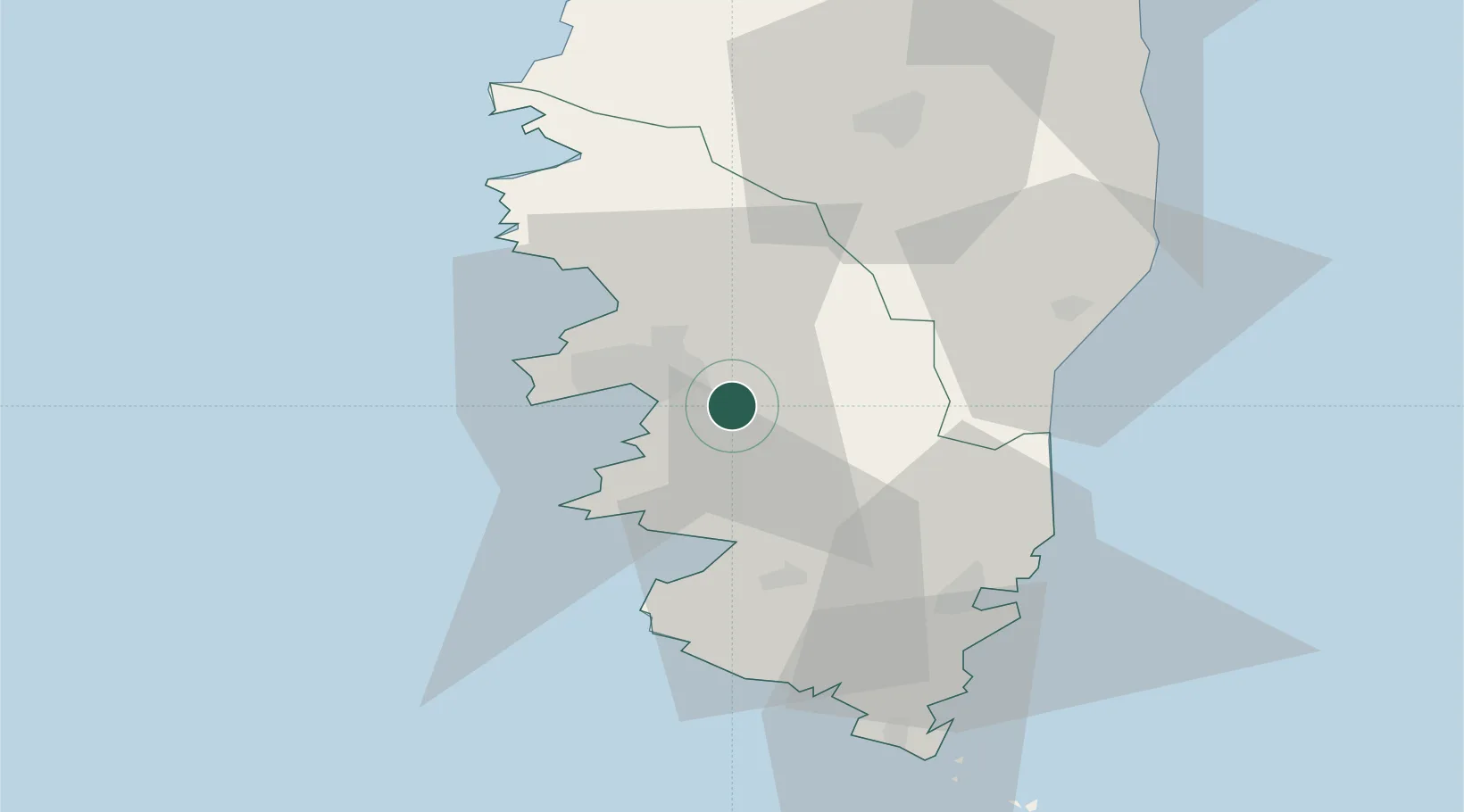
Hub Profile
Place type
Populated place
Region
Corsica
Population
1,123
Time zone
Europe/Paris
Elevation
360 m
Location
Nearby Logistics Neighbours
Cities
- 1Grosseto-Prugna6 km
- 2Pila-Canale9 km
- 3Cognocoli9 km
- 4Figueiro15 km
- 5Ajaccio16 km
Ports
- 1Port D' Ajaccio14 km
- 2Port De Propriano24 km
- 3Porto Vecchio47 km
- 4Bonifacio61 km
- 5Calvi75 km
Airports
Trade Zones
- 1Sardinia Special Economic Zone Area146 km
- 2ZFU LAriane245 km
- 3ZFU Toulon279 km
- 4ZFU La Seyne-sur-Mer284 km
- 5Free Zone of Portovesme305 km
DatabookThe Record of Consolidated Knowledge
France beyond logistics?