UN/LOCODE hub · France
FRGPP

Grosseto-Prugna

41.8667°, 8.9667°
2,628
Population
2
Transport functions

Transport Functions

Road
Multimodal
UN/LOCODE

Hub Profile

Place type
Populated place
GeoNames
Region
Corsica
GeoNames
Population
2,628
GeoNames
Time zone
Europe/Paris
GeoNames
Elevation
442 m
GeoNames

Location

Location of FRGPP
Natural Earth 10m (public domain) · Corsica · FRGPP · 41.87, 8.97GoogleOSMYandex

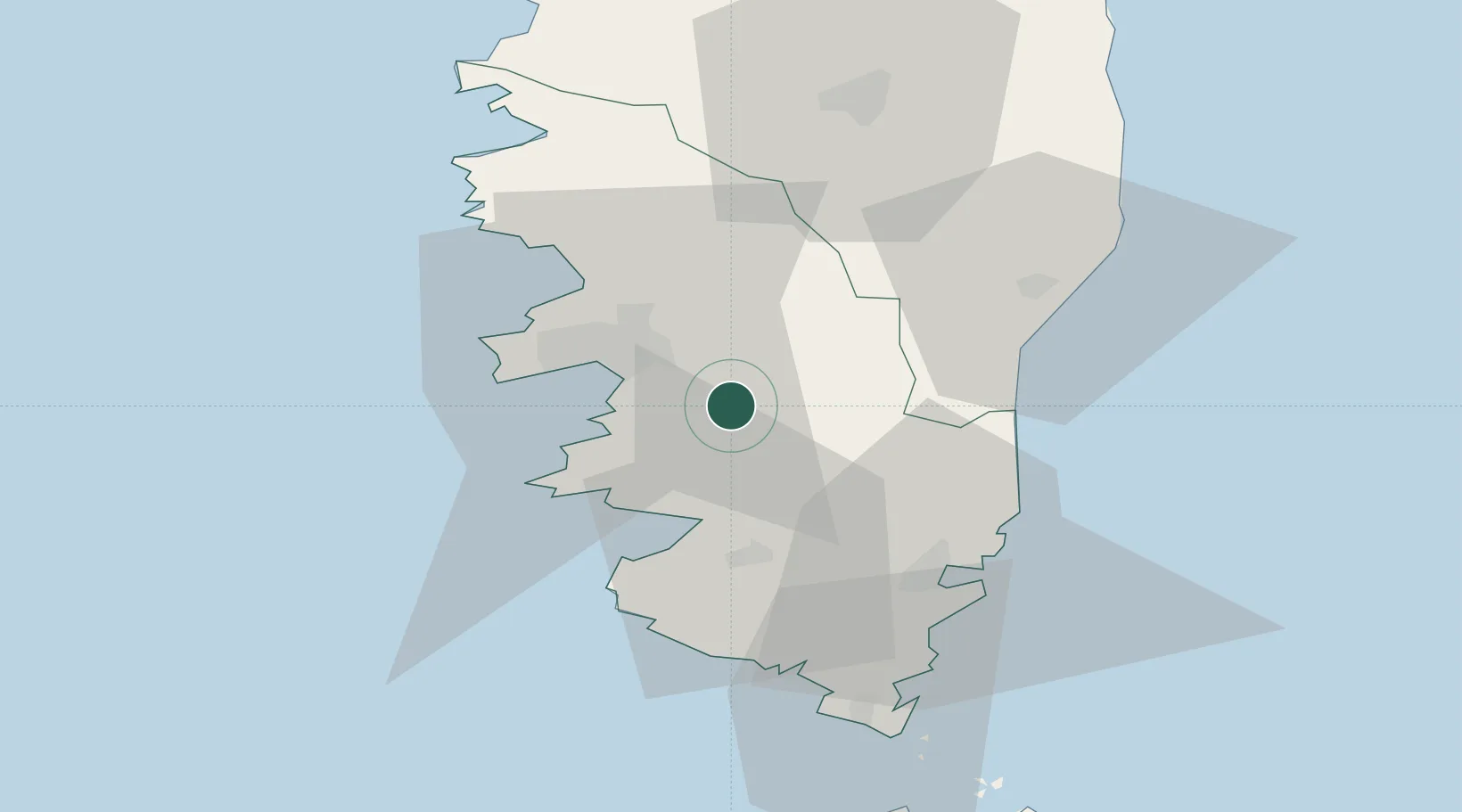
Nearby Logistics Neighbours

Cities
  1. 1Cauro6 km
  2. 2Pila-Canale7 km
  3. 3Cognocoli8 km
  4. 4Casalabriva13 km
  5. 5Figueiro20 km
Nearest neighbours — logibook spatial index (haversine) over the source coordinates
Ports
  1. 1Port D' Ajaccio19 km
  2. 2Port De Propriano21 km
  3. 3Porto Vecchio41 km
  4. 4Bonifacio56 km
  5. 5Calvi80 km
Nearest neighbours — logibook spatial index (haversine) over the source coordinates
Airports
  1. 1Ajaccio Napoléon Bonaparte airport15 km
  2. 2Solenzara (BA 126) Air Base37 km
  3. 3Figari Sud-Corse Airport42 km
  4. 4Calvi Sainte Catherine Airport75 km
  5. 5Bastia-Poretta International airport87 km
Nearest neighbours — logibook spatial index (haversine) over the source coordinates
Trade Zones
  1. 1Sardinia Special Economic Zone Area142 km
  2. 2ZFU LAriane250 km
  3. 3ZFU Toulon285 km
  4. 4ZFU La Seyne-sur-Mer290 km
  5. 5Free Zone of Portovesme302 km
Nearest neighbours — logibook spatial index (haversine) over the source coordinates
DatabookThe Record of Consolidated Knowledge
France beyond logistics?
Browse databook

All Sources

LocationsUN/LOCODE
UN/LOCODE — free
LocationsGeoNames
CC BY 4.0
Portsthe NGA World Port Index
Public domain (US gov)
AirportsOurAirports
Public domain
Trade Zonesthe World Bank SEZ database
CC BY 4.0
Trade ZonesOpen Zone Map
CC BY
← France locations