Transport Functions
Multimodal
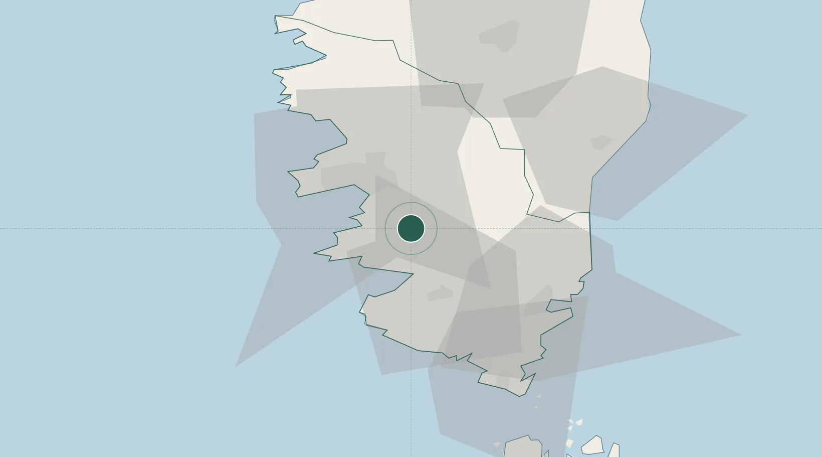
Hub Profile
Place type
Populated place
Region
Corsica
Population
300
Time zone
Europe/Paris
Elevation
388 m
Location
Nearby Logistics Neighbours
Cities
- 1Cognocoli1 km
- 2Grosseto-Prugna7 km
- 3Casalabriva8 km
- 4Cauro9 km
- 5Serra-di-Ferro13 km
Ports
- 1Port De Propriano15 km
- 2Port D' Ajaccio18 km
- 3Porto Vecchio40 km
- 4Bonifacio53 km
- 5Maddalena79 km
Airports
Trade Zones
- 1Sardinia Special Economic Zone Area137 km
- 2ZFU LAriane253 km
- 3ZFU Toulon284 km
- 4ZFU La Seyne-sur-Mer289 km
- 5Free Zone of Portovesme296 km
DatabookThe Record of Consolidated Knowledge
France beyond logistics?