UN/LOCODE hub · France
FRONY

Cognocoli

41.8167°, 8.9000°
2
Transport functions

Transport Functions

Port
Multimodal
UN/LOCODE

Hub Profile

Region
2A
GeoNames

Location

Location of FRONY
Natural Earth 10m (public domain) · 2A · FRONY · 41.82, 8.90GoogleOSMYandex

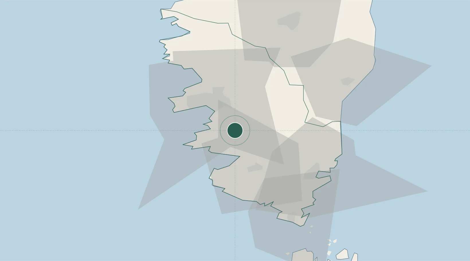
Nearby Logistics Neighbours

Cities
  1. 1Pila-Canale1 km
  2. 2Grosseto-Prugna8 km
  3. 3Casalabriva8 km
  4. 4Cauro9 km
  5. 5Serra-di-Ferro12 km
Nearest neighbours — logibook spatial index (haversine) over the source coordinates
Ports
  1. 1Port De Propriano15 km
  2. 2Port D' Ajaccio17 km
  3. 3Porto Vecchio41 km
  4. 4Bonifacio53 km
  5. 5Maddalena80 km
Nearest neighbours — logibook spatial index (haversine) over the source coordinates
Airports
  1. 1Ajaccio Napoléon Bonaparte airport14 km
  2. 2Figari Sud-Corse Airport39 km
  3. 3Solenzara (BA 126) Air Base44 km
  4. 4Calvi Sainte Catherine Airport80 km
  5. 5Bastia-Poretta International airport95 km
Nearest neighbours — logibook spatial index (haversine) over the source coordinates
Trade Zones
  1. 1Sardinia Special Economic Zone Area137 km
  2. 2ZFU LAriane252 km
  3. 3ZFU Toulon283 km
  4. 4ZFU La Seyne-sur-Mer288 km
  5. 5Free Zone of Portovesme296 km
Nearest neighbours — logibook spatial index (haversine) over the source coordinates
DatabookThe Record of Consolidated Knowledge
France beyond logistics?
Browse databook

All Sources

LocationsUN/LOCODE
UN/LOCODE — free
Portsthe NGA World Port Index
Public domain (US gov)
AirportsOurAirports
Public domain
Trade Zonesthe World Bank SEZ database
CC BY 4.0
Trade ZonesOpen Zone Map
CC BY
← France locations