Medium airport · France

Calvi Sainte Catherine AirportLFKC
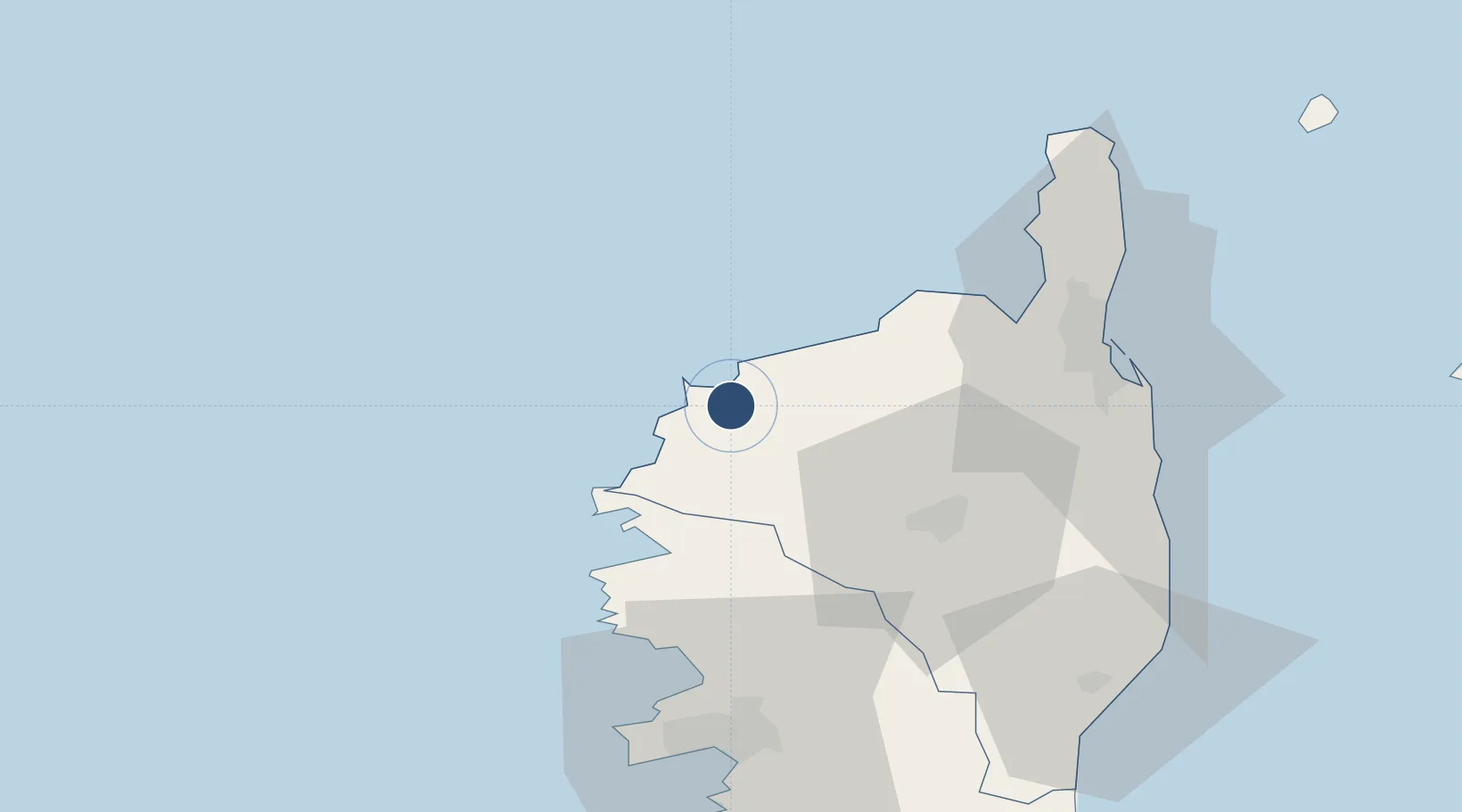
42.5304°, 8.7930°
7,579 ft
Longest runway
1
Runways
209 ft
Elevation

Runway & Layout

Calvi Sainte Catherine Airport runway & taxiway layout
Runway & taxiway layout — OpenStreetMap (ODbL) / OurAirports

Radio Frequencies

ATIS
131.175 MHz
CALVI ATIS
TWR
120.8 MHz
CALVI TWR
GND
121.7 MHz
CALVI GND
OurAirports

Navaids

CV NDB Calvi 375 kHz
OurAirports

Runways · 1

RunwayDimensions SurfaceTrue headingLit
18/36 7,579 × 131ft Concrete 179°
OurAirports

Airport Specifications

IATA code
CLY
OurAirports
ICAO code
LFKC
OurAirports
Airport class
Medium airport
OurAirports
Scheduled service
Yes
OurAirports
Runway surface
Concrete
OurAirports
Served city
Calvi
OurAirports

Location

Location of LFKC
Natural Earth 10m (public domain) · Haute-Corse · LFKC · 42.53, 8.79GoogleOSMYandex

Nearby Logistics Neighbours

Airports
  1. 1Bastia-Poretta International airport57 km
  2. 2Ajaccio Napoléon Bonaparte airport68 km
  3. 3Solenzara (BA 126) Air Base84 km
  4. 4Figari Sud-Corse Airport117 km
  5. 5Marina di Campo Airport121 km
Nearest neighbours — logibook spatial index (haversine) over the source coordinates
Cities
  1. 1Calvi5 km
  2. 2Zilia9 km
  3. 3Muro10 km
  4. 4Feliceto12 km
  5. 5L'Île-Rousse16 km
Nearest neighbours — logibook spatial index (haversine) over the source coordinates
Ports
  1. 1Calvi5 km
  2. 2L'ile Rousse16 km
  3. 3Bastia57 km
  4. 4Port D' Ajaccio68 km
  5. 5Port De Propriano95 km
Nearest neighbours — logibook spatial index (haversine) over the source coordinates
Trade Zones
  1. 1ZFU LAriane182 km
  2. 2Sardinia Special Economic Zone Area217 km
  3. 3ZFU Toulon242 km
  4. 4ZFU La Seyne-sur-Mer248 km
  5. 5ZFU Marseille 15e et 16e293 km
Nearest neighbours — logibook spatial index (haversine) over the source coordinates
DatabookThe Record of Consolidated Knowledge
France beyond logistics?
Browse databook

All Sources

AirportsOurAirports
Public domain
Portsthe NGA World Port Index
Public domain (US gov)
LocationsUN/LOCODE
UN/LOCODE — free
Trade Zonesthe World Bank SEZ database
CC BY 4.0
Trade ZonesOpen Zone Map
CC BY
InfrastructureOpenStreetMap
ODbL 1.0
← France airports