UN/LOCODE hub · Spain
ESZBJ

Aldeire

37.1500°, -3.0667°
742
Population
1
Transport functions

Transport Functions

Multimodal
UN/LOCODE

Hub Profile

Place type
District seat
GeoNames
Region
Andalusia
GeoNames
Population
742
GeoNames
Time zone
Europe/Madrid
GeoNames
Elevation
1,288 m
GeoNames

Location

Location of ESZBJ
Natural Earth 10m (public domain) · Andalusia · ESZBJ · 37.15, -3.07GoogleOSMYandex

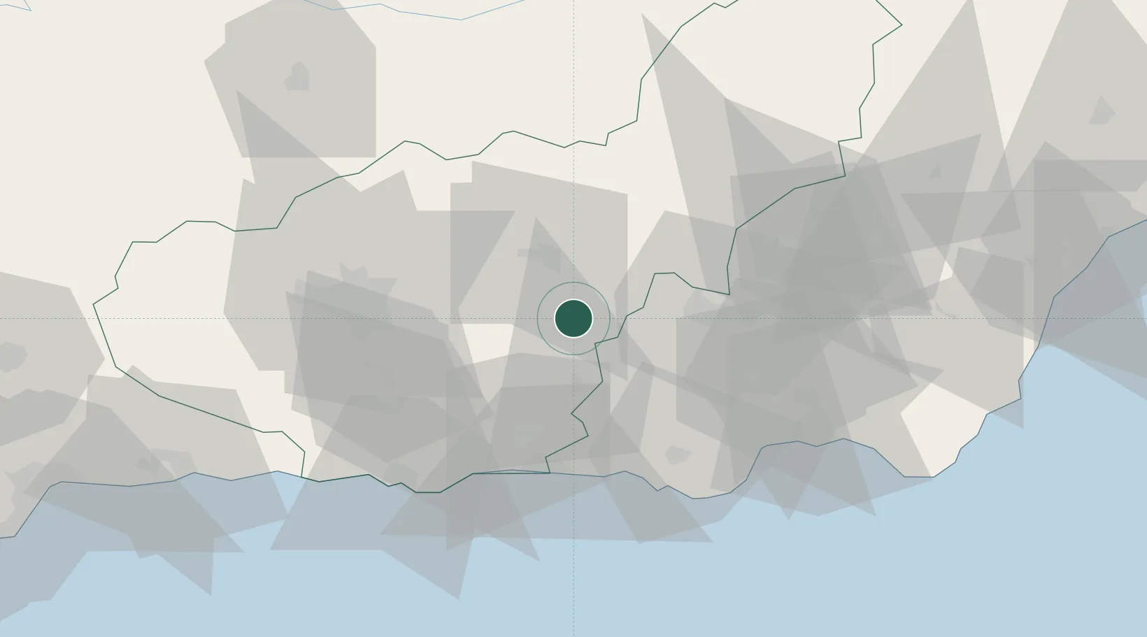
Nearby Logistics Neighbours

Cities
  1. 1Guadix18 km
  2. 2Fuente Victoria26 km
  3. 3Fonelas31 km
  4. 4Valle del Zalabi36 km
  5. 5Insticio41 km
Nearest neighbours — logibook spatial index (haversine) over the source coordinates
Ports
  1. 1Adra46 km
  2. 2Motril60 km
  3. 3Almeria64 km
  4. 4Puerto De Carboneras106 km
  5. 5Puerto De Garrucha111 km
Nearest neighbours — logibook spatial index (haversine) over the source coordinates
Airports
  1. 1Armilla Air Base51 km
  2. 2F.G.L. Airport Granada-Jaén Airport63 km
  3. 3Almería Airport71 km
  4. 4Málaga-Costa del Sol Airport138 km
  5. 5Córdoba Airport175 km
Nearest neighbours — logibook spatial index (haversine) over the source coordinates
Trade Zones
  1. 1Depósito Franco de Málaga130 km
  2. 2Melilla Autonomous Community207 km
  3. 3Nador WestMed Free Zone213 km
  4. 4Ait Kamra Economic Activity Zone236 km
  5. 5Depósito Franco de Algeciras240 km
Nearest neighbours — logibook spatial index (haversine) over the source coordinates
DatabookThe Record of Consolidated Knowledge
Spain beyond logistics?
Browse databook

All Sources

LocationsUN/LOCODE
UN/LOCODE — free
LocationsGeoNames
CC BY 4.0
Portsthe NGA World Port Index
Public domain (US gov)
AirportsOurAirports
Public domain
Trade Zonesthe World Bank SEZ database
CC BY 4.0
Trade ZonesOpen Zone Map
CC BY
← Spain locations