Transport Functions
Port
Hub Profile
Place type
District seat
Region
Castille-La Mancha
Population
3,274
Time zone
Europe/Madrid
Elevation
444 m
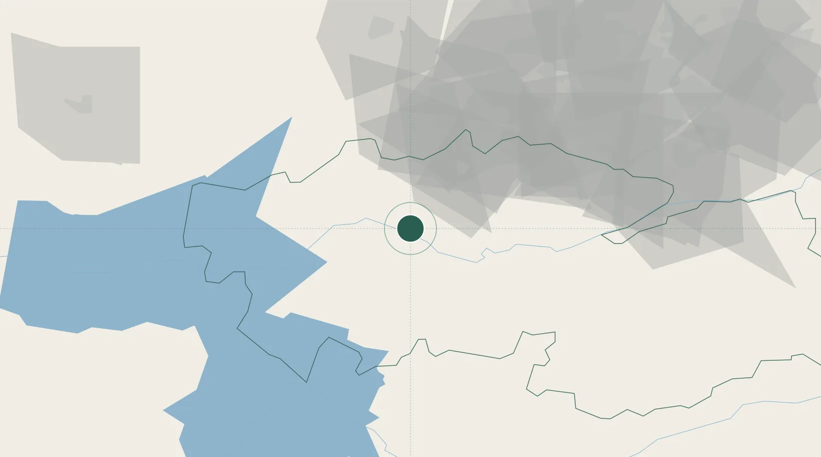
Location
Nearby Logistics Neighbours
Cities
- 1Carpio Tajo12 km
- 2Santa Olalla14 km
- 3Pepino21 km
- 4Val de Santo Domingo23 km
- 5Burujon23 km
Ports
- 1Sevilla313 km
- 2Aveiro355 km
- 3Malaga360 km
- 4Huelva365 km
- 5Figueira Da Foz365 km
Airports
Trade Zones
DatabookThe Record of Consolidated Knowledge
Spain beyond logistics?