Transport Functions
Multimodal
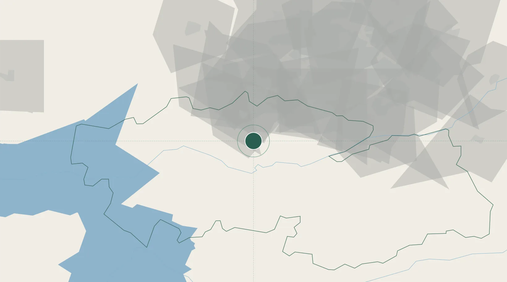
Hub Profile
Place type
Populated place
Region
Castille-La Mancha
Time zone
Europe/Madrid
Elevation
544 m
Location
Nearby Logistics Neighbours
Cities
- 1Torrijos5 km
- 2Quismondo9 km
- 3Santa Olalla10 km
- 4Fuensalida11 km
- 5Burujon13 km
Airports
Trade Zones
DatabookThe Record of Consolidated Knowledge
Spain beyond logistics?