Medium airport · Spain
Madrid-Cuatro Vientos AirportLECU
40.3707°, -3.7851°
4,921 ft
Longest runway
2
Runways
2,269 ft
Elevation
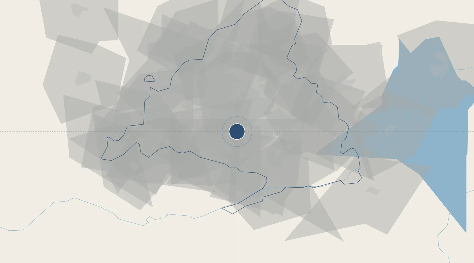
Runway & Layout

Radio Frequencies
TWR
118.7 MHz
GND
121.8 MHz
Runways · 2
| Runway | Dimensions | Surface | True heading | Lit |
|---|---|---|---|---|
| 09/27 | 4,921 × 98ft | Asphalt | 094° | ✓ |
| 09L/27R | 2,698 × 148ft | GRASS | 094° | — |
Airport Specifications
ICAO code
LECU
Airport class
Medium airport
Scheduled service
No
Runway surface
Asphalt
Served city
Madrid
Location
Nearby Logistics Neighbours
Airports
Cities
- 1Villaverde8 km
- 2Majadahonda13 km
- 3Moraleja de Enmedio13 km
- 4Humanes de Madrid14 km
- 5Vicalvaro16 km
Ports
- 1Valencia313 km
- 2Sagunto314 km
- 3Burriana322 km
- 4El Grao326 km
- 5Puerto De Bilbao337 km
Trade Zones
DatabookThe Record of Consolidated Knowledge
Spain beyond logistics?