Medium airport · Spain
Getafe Air BaseLEGT
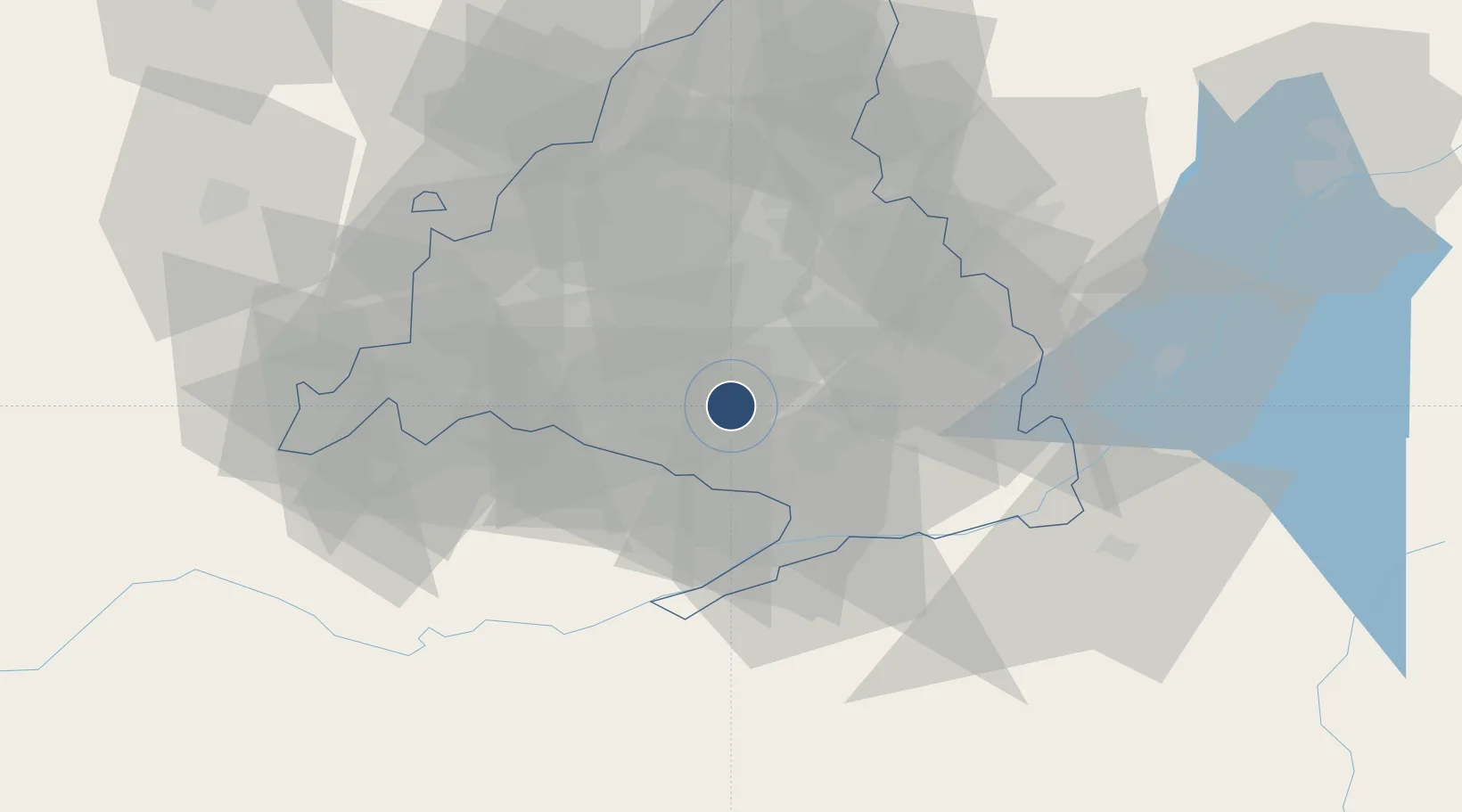
40.2941°, -3.7238°
8,136 ft
Longest runway
2
Runways
2,034 ft
Elevation
Runway & Layout

Radio Frequencies
TWR
138.3 MHz
GND
121.6 MHz
APP
127.1 MHz
DEP
127.1 MHz
MADRID DEP
Navaids
GE NDB Getafe 421 kHz
VGE TACAN Getafe 112.05 MHz
Runways · 2
| Runway | Dimensions | Surface | True heading | Lit |
|---|---|---|---|---|
| 04/22 | 8,136 × 197ft | Asphalt | 045° | ✓ |
| 05R/23L | 3,018 × 98ft | Graded earth | 045° | — |
Airport Specifications
ICAO code
LEGT
Airport class
Medium airport
Scheduled service
No
Runway surface
Asphalt
Served city
Getafe
Location
Nearby Logistics Neighbours
Airports
Cities
- 1Villaverde7 km
- 2Humanes de Madrid11 km
- 3Moraleja de Enmedio11 km
- 4Griñón14 km
- 5Cubas de la Sagra15 km
Ports
- 1Valencia306 km
- 2Sagunto307 km
- 3Burriana316 km
- 4El Grao320 km
- 5Puerto De Gandia338 km
Trade Zones
DatabookThe Record of Consolidated Knowledge
Spain beyond logistics?