Medium airport · Spain

Madrid–Torrejón Airport / Torrejón Air BaseLETO
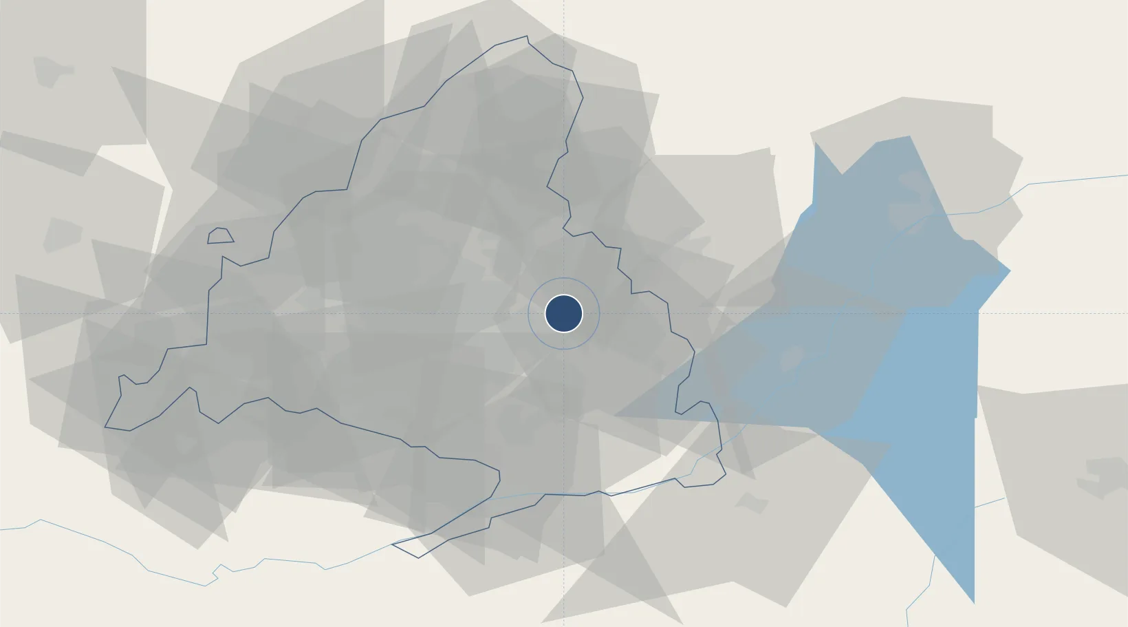
40.4879°, -3.4568°
15,807 ft
Longest runway
1
Runways
2,026 ft
Elevation

Runway & Layout

Madrid–Torrejón Airport / Torrejón Air Base runway & taxiway layout
Runway & taxiway layout — OpenStreetMap (ODbL) / OurAirports

Radio Frequencies

TWR
122.1 MHz
GND
118.3 MHz
APP
118.4 MHz
MADRID APP
GCA
118.9 MHz
OurAirports

Navaids

TJA NDB Torrejon 426 kHz
TJZ TACAN Torrejon 112.50 MHz
VJZ VOR-DME Torrejon 115.10 MHz
OurAirports

Runways · 1

RunwayDimensions SurfaceTrue headingLit
04/22 15,807 × 197ft Asphalt / concrete 043°
OurAirports

Airport Specifications

IATA code
TOJ
OurAirports
ICAO code
LETO
OurAirports
Airport class
Medium airport
OurAirports
Scheduled service
No
OurAirports
Runway surface
Asphalt / concrete
OurAirports
Served city
Madrid
OurAirports

Location

Location of LETO
Natural Earth 10m (public domain) · Madrid · LETO · 40.49, -3.46GoogleOSMYandex

Nearby Logistics Neighbours

Airports
  1. 1Adolfo Suárez Madrid–Barajas Airport10 km
  2. 2Madrid-Cuatro Vientos Airport31 km
  3. 3Getafe Air Base31 km
  4. 4Valladolid Airport179 km
  5. 5Salamanca Airport180 km
Nearest neighbours — logibook spatial index (haversine) over the source coordinates
Cities
  1. 1Paracuellos de Jarama5 km
  2. 2Los Hueros10 km
  3. 3Mejorada del Campo10 km
  4. 4Velilla de San Antonio14 km
  5. 5Madrid14 km
Nearest neighbours — logibook spatial index (haversine) over the source coordinates
Ports
  1. 1Sagunto291 km
  2. 2Valencia291 km
  3. 3Burriana297 km
  4. 4El Grao301 km
  5. 5Puerto De Bilbao320 km
Nearest neighbours — logibook spatial index (haversine) over the source coordinates
Trade Zones
  1. 1Depósito Franco de Madrid-Aeropuerto11 km
  2. 2Depósito Franco de Villafría (Burgos)211 km
  3. 3Depósito Franco de Zaragoza259 km
  4. 4Depósito Franco de Valencia292 km
  5. 5Depósito Franco de Bilbao319 km
Nearest neighbours — logibook spatial index (haversine) over the source coordinates
DatabookThe Record of Consolidated Knowledge
Spain beyond logistics?
Browse databook

All Sources

AirportsOurAirports
Public domain
Portsthe NGA World Port Index
Public domain (US gov)
LocationsUN/LOCODE
UN/LOCODE — free
Trade Zonesthe World Bank SEZ database
CC BY 4.0
Trade ZonesOpen Zone Map
CC BY
InfrastructureOpenStreetMap
ODbL 1.0
← Spain airports