About
Methodology
Sources
Licensing
English
EN
English
TR
Türkçe
DE
Deutsch
FR
Français
ES
Español
IT
Italiano
PT
Português
NL
Nederlands
PL
Polski
RU
Русский
UK
Українська
CS
Čeština
RO
Română
EL
Ελληνικά
BG
Български
AR
العربية
FA
فارسی
UR
اردو
HI
हिन्दी
BN
বাংলা
ID
Bahasa Indonesia
VI
Tiếng Việt
ZH
中文
JA
日本語
KO
한국어
logibook
/
Countries
/
Spain
/
Locations
/
Carpio Tajo
UN/LOCODE hub ·
Spain
ES
CRP
Carpio Tajo
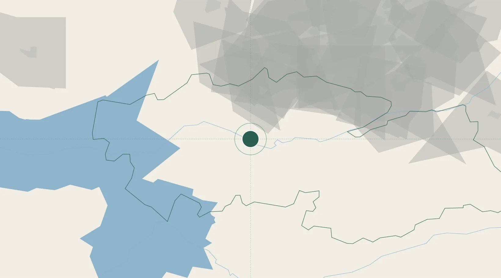
39.8833°, -4.4500°
1
Transport functions
Transport Functions
Port
UN/LOCODE
Location
Natural Earth 10m (public domain) · Toledo · ESCRP · 39.88, -4.45
Google ↗
OSM ↗
Yandex ↗
Nearby Logistics Neighbours
Cities
1
Cebolla
12 km
2
Burujon
13 km
3
Santa Olalla
15 km
4
Torrijos
18 km
5
Val de Santo Domingo
19 km
Nearest neighbours — logibook spatial index (haversine) over the source coordinates
Ports
1
Sevilla
311 km
2
Malaga
352 km
3
Valencia
357 km
4
Motril
358 km
5
Sagunto
363 km
Nearest neighbours — logibook spatial index (haversine) over the source coordinates
Airports
1
Getafe Air Base
77 km
2
Madrid-Cuatro Vientos Airport
78 km
3
Adolfo Suárez Madrid–Barajas Airport
101 km
4
Madrid–Torrejón Airport / Torrejón Air Base
108 km
5
Ciudad Real International Airport
121 km
Nearest neighbours — logibook spatial index (haversine) over the source coordinates
Trade Zones
1
Depósito Franco de Madrid-Aeropuerto
97 km
2
Depósito Franco de Villafría (Burgos)
283 km
3
Zona Franca de Sevilla
314 km
4
Depósito Franco de Málaga
316 km
5
Depósito Franco de Valencia
357 km
Nearest neighbours — logibook spatial index (haversine) over the source coordinates
Data
book
The Record of Consolidated Knowledge
Spain beyond logistics?
Browse databook
→
All Sources
Locations
UN/LOCODE
UN/LOCODE — free
↗
Ports
the NGA World Port Index
Public domain (US gov)
↗
Airports
OurAirports
Public domain
↗
Trade Zones
the World Bank SEZ database
CC BY 4.0
↗
Trade Zones
Open Zone Map
CC BY
↗
← Spain locations