Export Processing Zone · Spain

Depósito Franco de Villafría (Burgos) Active
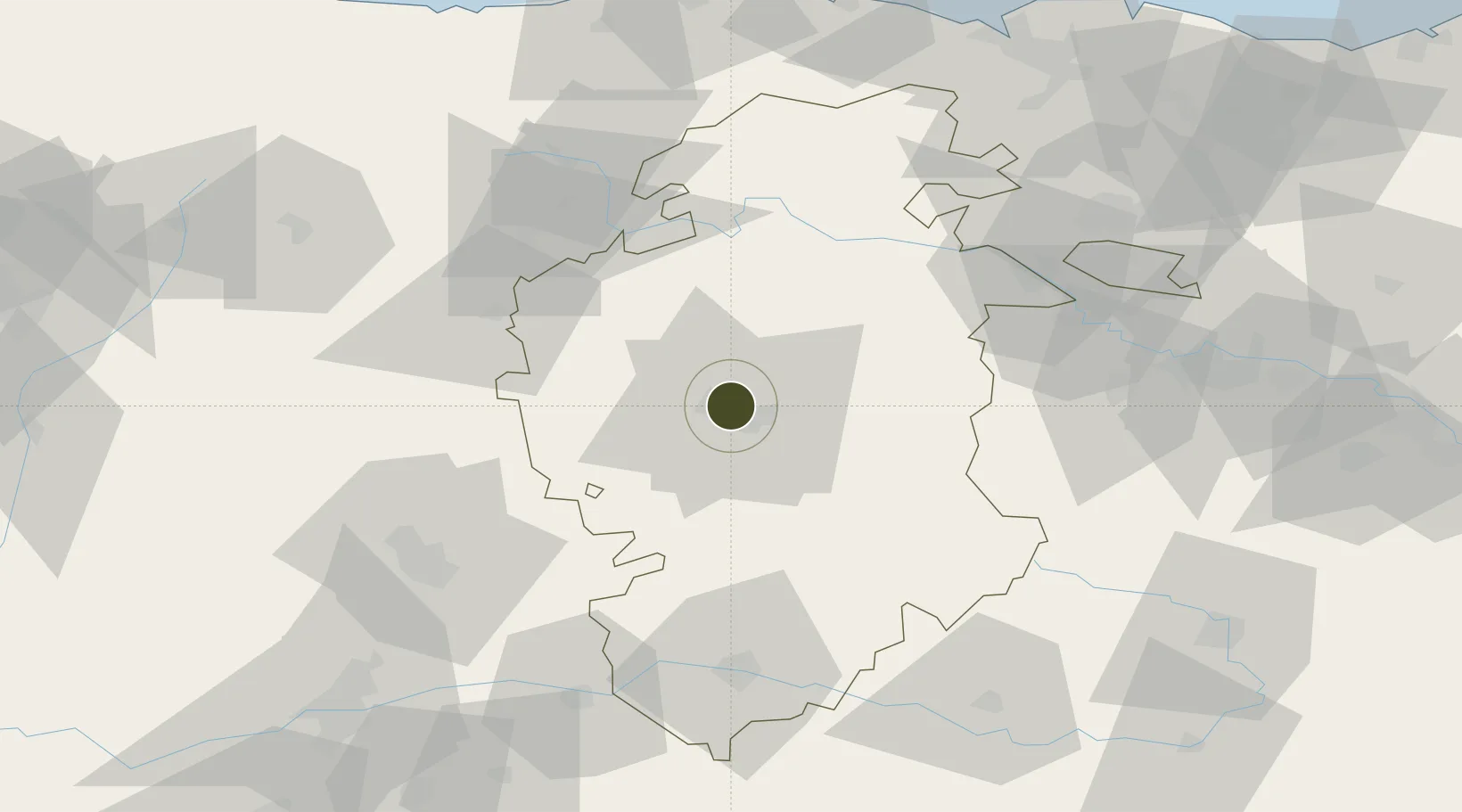
42.3715°, -3.7255°
0 ha
Zone area
121.9 km
Nearest port
8.7 km
Nearest airport

Gateway access

Nearest neighbours — logibook spatial index (haversine) over the source coordinates

Zone profile

Zone type
Export Processing Zone
Open Zone Map
Region
Burgos
Open Zone Map
Status
Active
Open Zone Map
Management
Private
Open Zone Map
Operator
CTBurgos
Open Zone Map
Legal framework
Real Decreto-Ley N. 1491
Open Zone Map

Location

Location of ozm-4317
Natural Earth 10m (public domain) · Burgos · ozm-4317 · 42.37, -3.73GoogleOSMYandex

Nearby Logistics Neighbours

Ports
  1. 1Santander122 km
  2. 2Puerto De Bilbao122 km
  3. 3Bermeo142 km
  4. 4Puerto De Pasajes181 km
  5. 5Gijon205 km
Nearest neighbours — logibook spatial index (haversine) over the source coordinates
Airports
  1. 1Burgos Airport9 km
  2. 2Vitoria Airport100 km
  3. 3Logroño-Agoncillo Airport116 km
  4. 4Seve Ballesteros-Santander Airport118 km
  5. 5Valladolid Airport119 km
Nearest neighbours — logibook spatial index (haversine) over the source coordinates
Cities
  1. 1Burgos9 km
  2. 2Villafría de Burgos9 km
  3. 3Cardenadijo9 km
  4. 4Lodoso10 km
  5. 5Saldaña de Burgos14 km
Nearest neighbours — logibook spatial index (haversine) over the source coordinates
Trade Zones
  1. 1Zona Franca de Santander120 km
  2. 2Depósito Franco de Bilbao121 km
  3. 3Depósito Franco de Pasajes (Guipúzcoa)181 km
  4. 4Depósito Franco de Gijón208 km
  5. 5Depósito Franco de Madrid-Aeropuerto214 km
Nearest neighbours — logibook spatial index (haversine) over the source coordinates
DatabookThe Record of Consolidated Knowledge
Spain beyond logistics?
Browse databook

All Sources

Trade ZonesOpen Zone Map
CC BY
Portsthe NGA World Port Index
Public domain (US gov)
AirportsOurAirports
Public domain
LocationsUN/LOCODE
UN/LOCODE — free
← Spain trade zones