Transport Functions
Rail
Road
Hub Profile
Place type
Provincial seat
Region
Lääne-Virumaa
Population
5,168
Time zone
Europe/Tallinn
Elevation
103 m
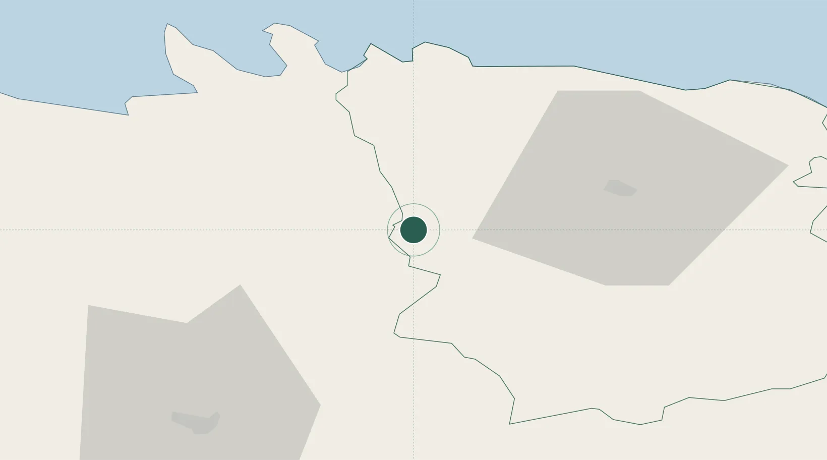
Location
Nearby Logistics Neighbours
Ports
- 1Loksa38 km
- 2Kunda44 km
- 3Muuga-Port of Tallin62 km
- 4Miiduranna70 km
- 5Vanasadam - Port of Tallinn71 km
Airports
- 1Lennart Meri Tallinn Airport66 km
- 2Tallinn Linnahall Heliport72 km
- 3Ämari Air Base100 km
- 4Tartu Airport114 km
- 5Pärnu Airport128 km
Trade Zones
- 1Muuga Free Zone54 km
- 2Port of Sillamäe101 km
- 3Paldiski Free Zone108 km
- 4Port of Hamina-Kotka144 km
- 5Freeport of Hanko185 km
DatabookThe Record of Consolidated Knowledge
Estonia beyond logistics?