Transport Functions
Multimodal
Hub Profile
Place type
Populated place
Region
Lääne-Virumaa
Population
2,119
Time zone
Europe/Tallinn
Elevation
126 m
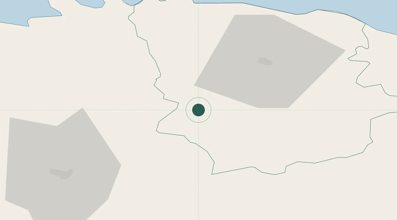
Location
Nearby Logistics Neighbours
Ports
- 1Kunda49 km
- 2Loksa53 km
- 3Muuga-Port of Tallin75 km
- 4Miiduranna83 km
- 5Vanasadam - Port of Tallinn83 km
Airports
- 1Lennart Meri Tallinn Airport78 km
- 2Tallinn Linnahall Heliport83 km
- 3Tartu Airport100 km
- 4Ämari Air Base109 km
- 5Smuravyovo Air Base116 km
Trade Zones
- 1Muuga Free Zone64 km
- 2Port of Sillamäe97 km
- 3Paldiski Free Zone117 km
- 4Port of Hamina-Kotka154 km
- 5Moglino Special Economic Zone - Industrial194 km
DatabookThe Record of Consolidated Knowledge
Estonia beyond logistics?