Transport Functions
Port
Road
Hub Profile
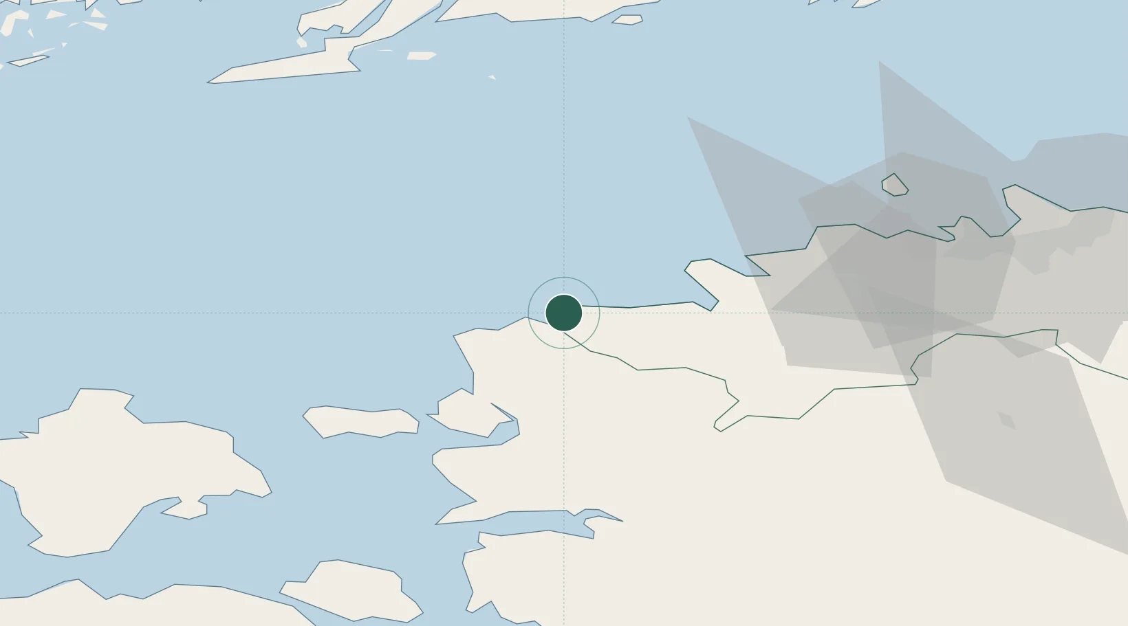
Place type
Populated place
Region
Harjumaa
Time zone
Europe/Tallinn
Elevation
7 m
Location
Nearby Logistics Neighbours
Cities
- 1Nõva Sadam4 km
- 2Dirhami14 km
- 3Kurkse16 km
- 4Osmussaare Sadam18 km
- 5Paldiski20 km
Ports
- 1Paldiski Pohjasadam20 km
- 2Paldiski Lounasadam21 km
- 3Osmussaar21 km
- 4Rohukula44 km
- 5Vene-Balti56 km
Airports
- 1Ämari Air Base27 km
- 2Kärdla Airport60 km
- 3Tallinn Linnahall Heliport61 km
- 4Lennart Meri Tallinn Airport64 km
- 5Pärnu Airport103 km
Trade Zones
- 1Paldiski Free Zone21 km
- 2Muuga Free Zone73 km
- 3Freeport of Hanko79 km
- 4Turku Free Zone156 km
- 5Port of Hamina-Kotka223 km
DatabookThe Record of Consolidated Knowledge
Estonia beyond logistics?