Transport Functions
Port
Border Crossing
Hub Profile
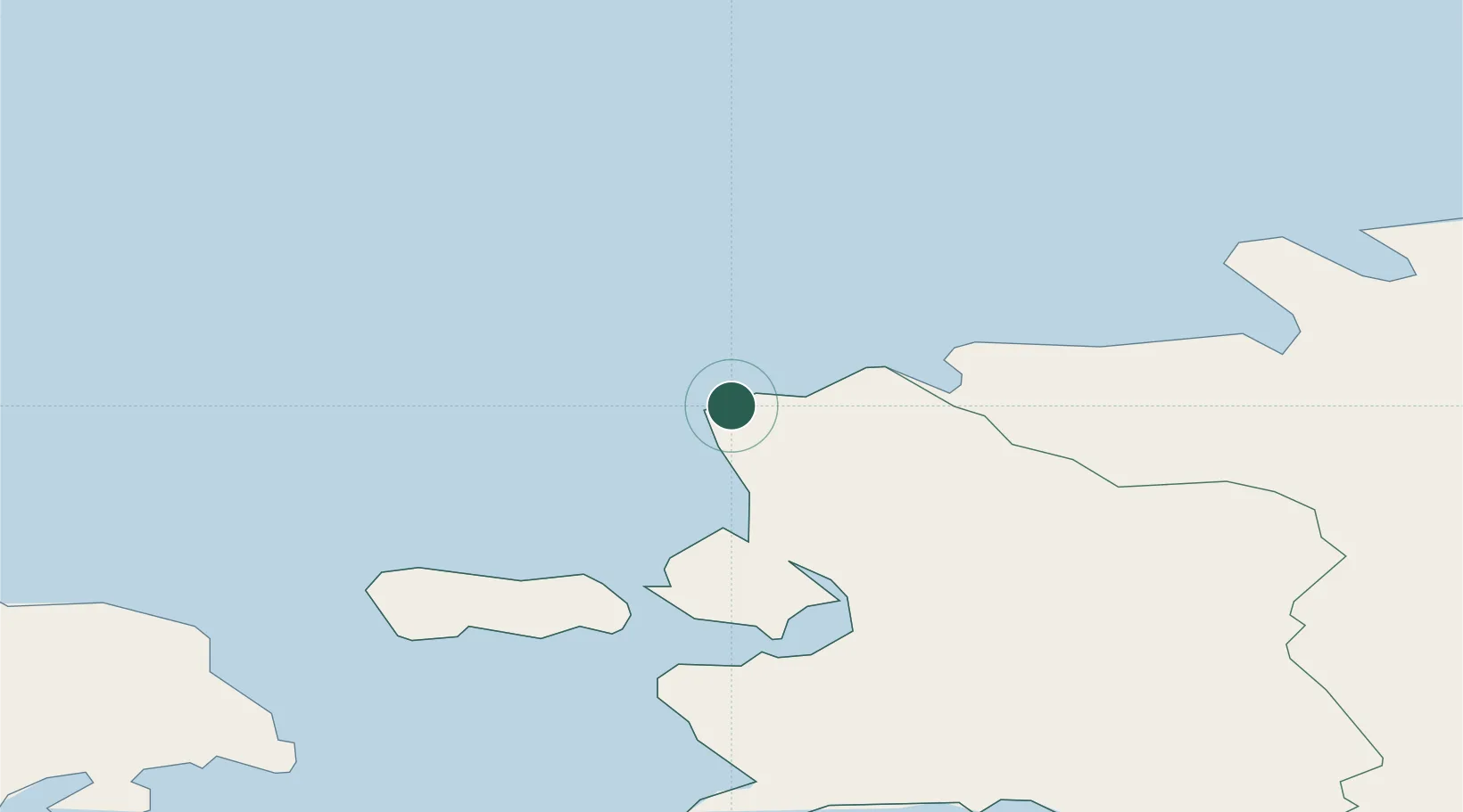
Place type
Populated place
Region
Lääne
Time zone
Europe/Tallinn
Elevation
19 m
Location
Nearby Logistics Neighbours
Cities
- 1Osmussaare Sadam9 km
- 2Nõva Sadam10 km
- 3Ristna14 km
- 4Hara Sadam15 km
- 5Paslepa-Viigi Sadam23 km
Ports
- 1Osmussaar12 km
- 2Paldiski Pohjasadam34 km
- 3Rohukula35 km
- 4Paldiski Lounasadam36 km
- 5Heltermaa47 km
Airports
- 1Ämari Air Base40 km
- 2Kärdla Airport46 km
- 3Tallinn Linnahall Heliport76 km
- 4Lennart Meri Tallinn Airport79 km
- 5Pärnu Airport105 km
Trade Zones
- 1Paldiski Free Zone35 km
- 2Freeport of Hanko77 km
- 3Muuga Free Zone86 km
- 4Turku Free Zone154 km
- 5Free port of Ventspils233 km
DatabookThe Record of Consolidated Knowledge
Estonia beyond logistics?