Transport Functions
Rail
Road
Border Crossing
Hub Profile
Place type
Provincial seat
Region
Harjumaa
Population
3,542
Time zone
Europe/Tallinn
Elevation
22 m
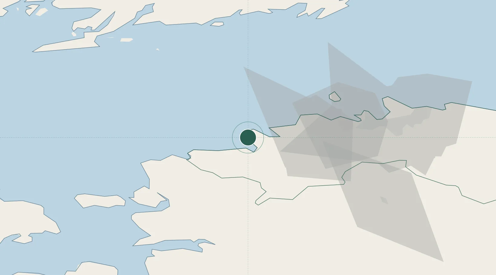
Location
Nearby Logistics Neighbours
Cities
- 1Paldiski Põhjasadam0 km
- 2Paldiski Lõunasadam3 km
- 3Kurkse10 km
- 4Lohusalu11 km
- 5Manilaiu16 km
Ports
- 1Paldiski Pohjasadam0 km
- 2Paldiski Lounasadam3 km
- 3Vene-Balti36 km
- 4Bekkeri37 km
- 5Meeruse37 km
Airports
- 1Ämari Air Base13 km
- 2Tallinn Linnahall Heliport41 km
- 3Lennart Meri Tallinn Airport45 km
- 4Kärdla Airport80 km
- 5Pärnu Airport106 km
Trade Zones
- 1Paldiski Free Zone2 km
- 2Muuga Free Zone55 km
- 3Freeport of Hanko85 km
- 4Turku Free Zone159 km
- 5Port of Hamina-Kotka204 km
DatabookThe Record of Consolidated Knowledge
Estonia beyond logistics?