Transport Functions
Port
Hub Profile
Region
56
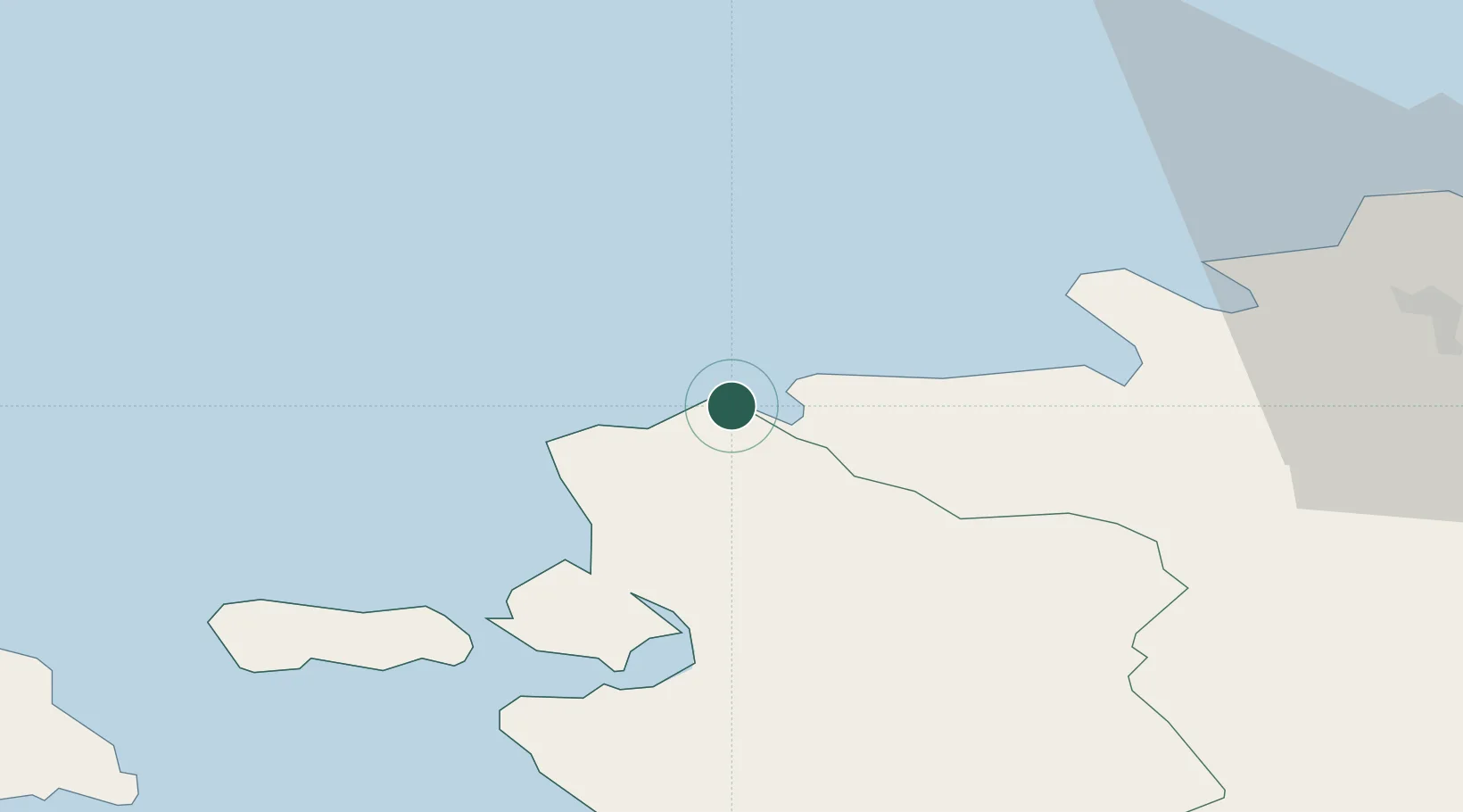
Location
Nearby Logistics Neighbours
Cities
- 1Ristna4 km
- 2Dirhami10 km
- 3Osmussaare Sadam15 km
- 4Kurkse20 km
- 5Hara Sadam20 km
Ports
- 1Osmussaar18 km
- 2Paldiski Pohjasadam24 km
- 3Paldiski Lounasadam25 km
- 4Rohukula41 km
- 5Heltermaa55 km
Airports
- 1Ämari Air Base31 km
- 2Kärdla Airport56 km
- 3Tallinn Linnahall Heliport65 km
- 4Lennart Meri Tallinn Airport69 km
- 5Pärnu Airport103 km
Trade Zones
- 1Paldiski Free Zone25 km
- 2Muuga Free Zone77 km
- 3Freeport of Hanko78 km
- 4Turku Free Zone156 km
- 5Port of Hamina-Kotka227 km
DatabookThe Record of Consolidated Knowledge
Estonia beyond logistics?