UN/LOCODE hub · Estonia
EEOSM

Osmussaare Sadam

59.2833°, 23.4167°
1
Transport functions

Transport Functions

Port
Osmussaare Sadam is also a profiled seaport →
UN/LOCODE

Hub Profile

Region
56
GeoNames

Location

Location of EEOSM
Natural Earth 10m (public domain) · 56 · EEOSM · 59.28, 23.42GoogleOSMYandex

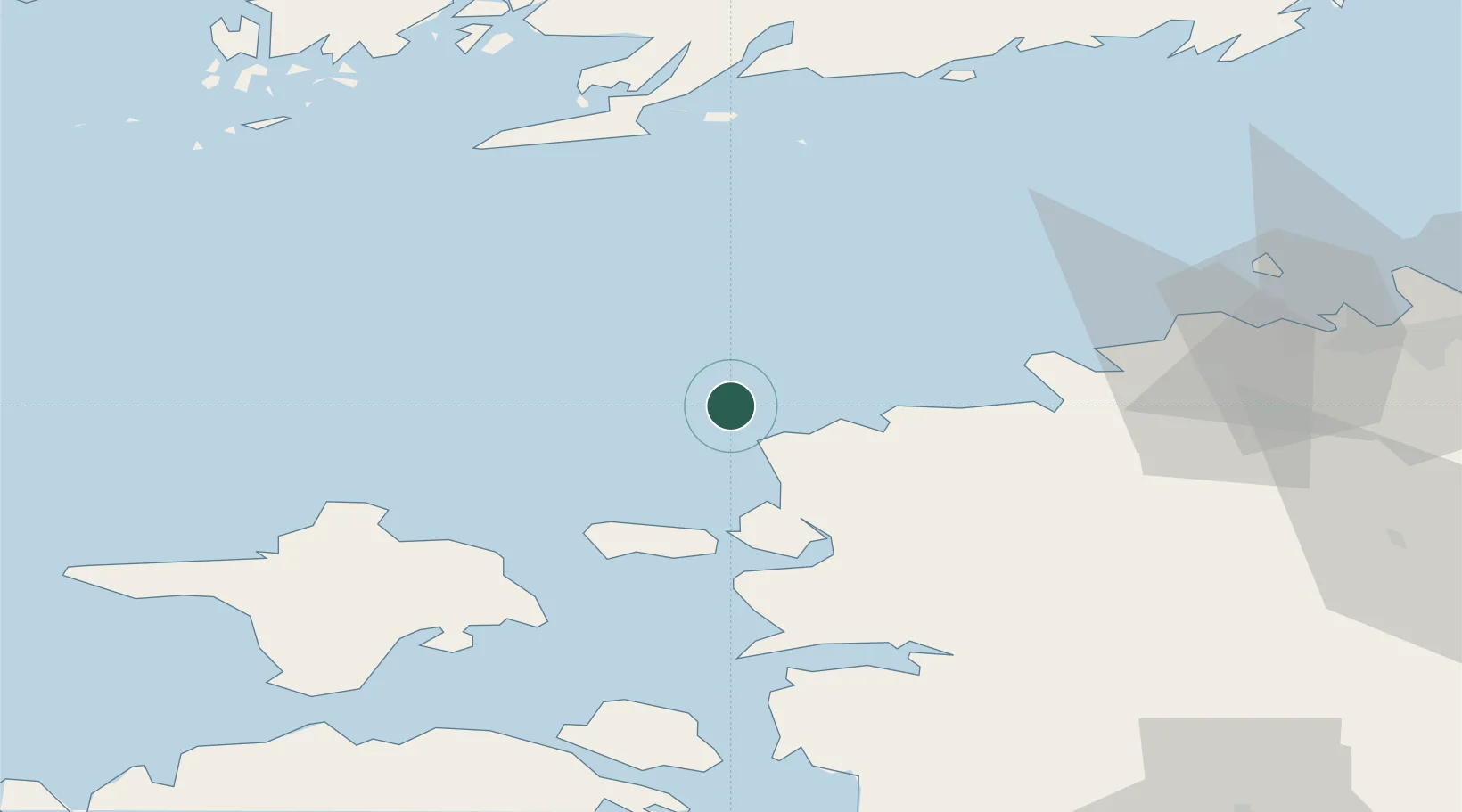
Nearby Logistics Neighbours

Cities
  1. 1Dirhami9 km
  2. 2Nõva Sadam15 km
  3. 3Ristna18 km
  4. 4Hara Sadam23 km
  5. 5Rälby Sadam29 km
Nearest neighbours — logibook spatial index (haversine) over the source coordinates
Ports
  1. 1Paldiski Pohjasadam37 km
  2. 2Paldiski Lounasadam38 km
  3. 3Rohukula42 km
  4. 4Heltermaa51 km
  5. 5Jussaro62 km
Nearest neighbours — logibook spatial index (haversine) over the source coordinates
Airports
  1. 1Ämari Air Base45 km
  2. 2Kärdla Airport47 km
  3. 3Tallinn Linnahall Heliport78 km
  4. 4Lennart Meri Tallinn Airport82 km
  5. 5Pärnu Airport114 km
Nearest neighbours — logibook spatial index (haversine) over the source coordinates
Trade Zones
  1. 1Paldiski Free Zone38 km
  2. 2Freeport of Hanko68 km
  3. 3Muuga Free Zone91 km
  4. 4Turku Free Zone146 km
  5. 5Port of Hamina-Kotka237 km
Nearest neighbours — logibook spatial index (haversine) over the source coordinates
DatabookThe Record of Consolidated Knowledge
Estonia beyond logistics?
Browse databook

All Sources

LocationsUN/LOCODE
UN/LOCODE — free
Portsthe NGA World Port Index
Public domain (US gov)
AirportsOurAirports
Public domain
Trade Zonesthe World Bank SEZ database
CC BY 4.0
Trade ZonesOpen Zone Map
CC BY
← Estonia locations