Transport Functions
Port
Hub Profile
Place type
Populated place
Region
Harjumaa
Time zone
Europe/Tallinn
Elevation
7 m
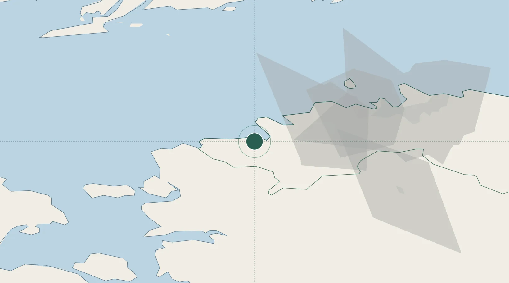
Location
Nearby Logistics Neighbours
Cities
- 1Paldiski Lõunasadam8 km
- 2Manilaiu9 km
- 3Paldiski10 km
- 4Paldiski Põhjasadam10 km
- 5Ristna16 km
Ports
- 1Paldiski Lounasadam8 km
- 2Paldiski Pohjasadam9 km
- 3Osmussaar37 km
- 4Vene-Balti42 km
- 5Bekkeri42 km
Airports
- 1Ämari Air Base11 km
- 2Tallinn Linnahall Heliport46 km
- 3Lennart Meri Tallinn Airport49 km
- 4Kärdla Airport74 km
- 5Pärnu Airport98 km
Trade Zones
- 1Paldiski Free Zone8 km
- 2Muuga Free Zone57 km
- 3Freeport of Hanko89 km
- 4Turku Free Zone165 km
- 5Port of Sillamäe211 km
DatabookThe Record of Consolidated Knowledge
Estonia beyond logistics?