Transport Functions
Port
Border Crossing
Hub Profile
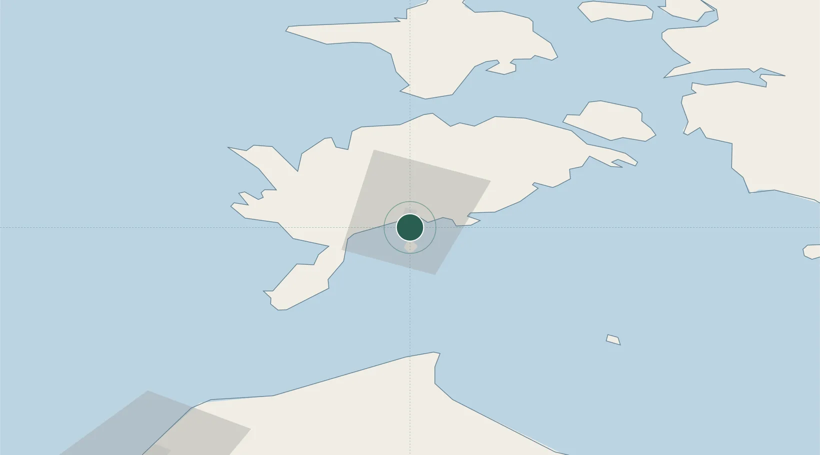
Place type
Populated place
Region
Saare
Time zone
Europe/Tallinn
Elevation
5 m
Location
Nearby Logistics Neighbours
Cities
- 1Kuressaare4 km
- 2Kuressaare sadam4 km
- 3Tori Jõesadam4 km
- 4Muratsi Sadam5 km
- 5Nasva6 km
Ports
- 1Saaremaa sadam39 km
- 2Virtsu71 km
- 3Heltermaa79 km
- 4Rohukula94 km
- 5Ventspils107 km
Airports
- 1Kuressaare Airport2 km
- 2Ruhnu Airfield66 km
- 3Kärdla Airport88 km
- 4Pärnu Airport117 km
- 5Jūrmala Airport148 km
Trade Zones
- 1Free port of Ventspils108 km
- 2Paldiski Free Zone154 km
- 3Free Port of Riga169 km
- 4Freeport of Hanko181 km
- 5Muuga Free Zone188 km
DatabookThe Record of Consolidated Knowledge
Estonia beyond logistics?